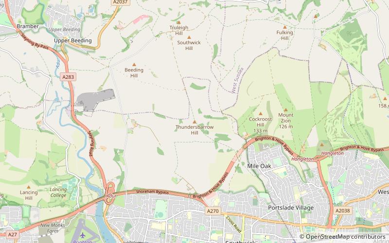
Thundersbarrow Hill, Shoreham-by-Sea
Map

Map

Facts and practical information
Thundersbarrow Hill is an archaeological site in West Sussex, England. It is on a chalk ridge, aligned north-west to south-east, on the South Downs north of Shoreham-by-Sea. ()
Coordinates: 50°51'42"N, 0°15'16"W
Address
HillsideShoreham-by-Sea
ContactAdd
Social media
Add
Day trips
Thundersbarrow Hill – popular in the area (distance from the attraction)
Nearby attractions include: St Botolph's Church, St Mary de Haura Church, St Nicolas Church, Shoreham Town Hall.
Frequently Asked Questions (FAQ)
How to get to Thundersbarrow Hill by public transport?
The nearest stations to Thundersbarrow Hill:
Bus
Bus
- Chrisdory Road • Lines: 1, 16B, 1A, 55 (28 min walk)
- Stanley Avenue • Lines: 1, 16B, 1A, 55 (29 min walk)


