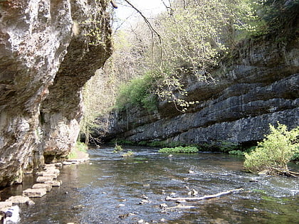
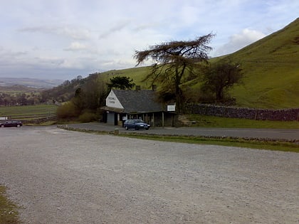
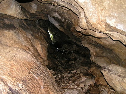
Hay Dale, Peak District
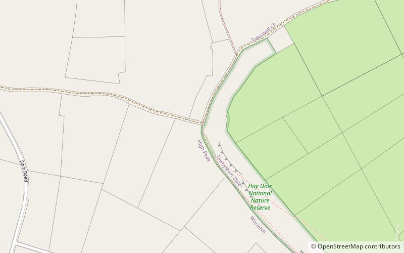
Map
Gallery
Facts and practical information
Hay Dale is a short dry valley near Buxton, Derbyshire, in the Peak District of England. It is part of a longer valley that runs for approximately 4 miles north–south from Peak Forest to the River Wye at Millers Dale. This valley has several names along its length: from the northern end running downhill these are Dam Dale, Hay Dale, Peter Dale and Monk's Dale. There is a farmland plateau on either side. ()
Coordinates: 53°17'32"N, 1°49'26"W
Address
Peak District
ContactAdd
Social media
Add
Day trips
Hay Dale – popular in the area (distance from the attraction)
Nearby attractions include: Blue John Cavern, St John the Baptist, Speedwell Cavern, Chee Dale.


