Tideswell Dale, Peak District
Map

Gallery

Facts and practical information
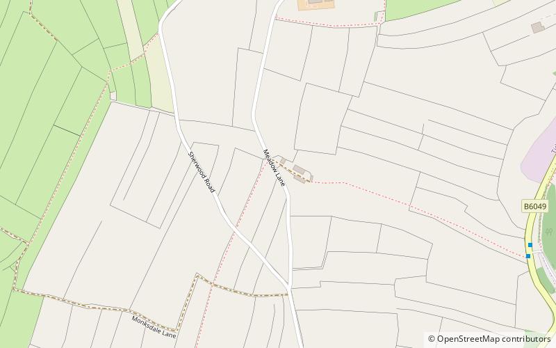
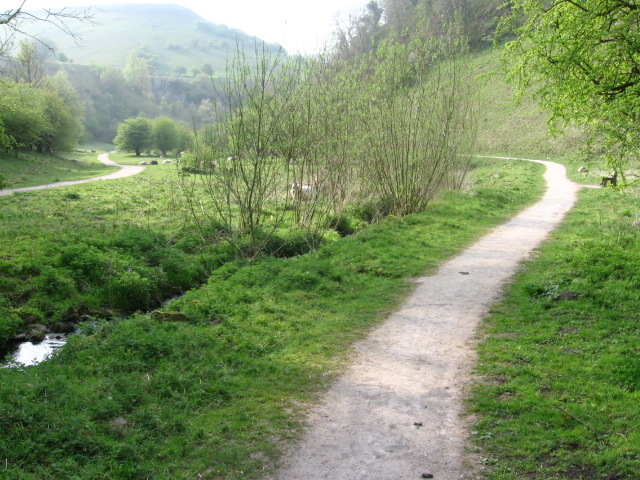
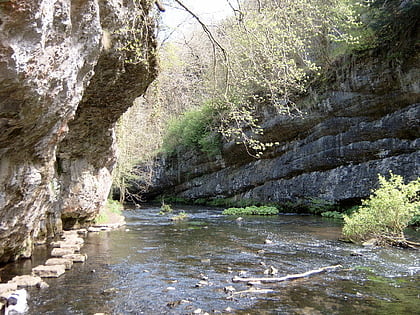
Tideswell Dale is a short dry limestone valley near Tideswell village, Derbyshire, in the Peak District of England. There is a farmland plateau on either side. The foot of the valley leads into Miller's Dale on the River Wye, which the valley's Brook Head stream runs into. ()
Coordinates: 53°15'59"N, 1°46'45"W
Address
Peak District
ContactAdd
Social media
Add
Day trips
Tideswell Dale – popular in the area (distance from the attraction)
Nearby attractions include: Monsal Trail, St John the Baptist, Chee Dale, Hay Dale.
Frequently Asked Questions (FAQ)
Which popular attractions are close to Tideswell Dale?
Nearby attractions include Monk's Dale, Peak District (23 min walk), St John the Baptist, Tideswell (24 min walk).
How to get to Tideswell Dale by public transport?
The nearest stations to Tideswell Dale:
Bus
Bus
- Tideswell • Lines: 173, 65 (15 min walk)


