Millers Dale, Peak District

Gallery (3)
Map
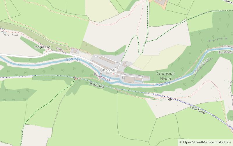
Map
Gallery
Facts and practical information
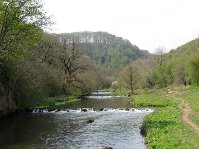
Millers Dale is a valley on the River Wye in Derbyshire, England, where there is also a hamlet of the same name. ()
Coordinates: 53°15'14"N, 1°45'42"W
Address
Peak District
ContactAdd
Social media
Add
Getting there by public transportation
Public transportation stops near this location
- Bus
 Bus
Bus
- Calculate routeMiller’s Dale 15 min walk
- Calculate routeCressbrook 16 min walk
- Calculate routeTideswell 22 min walk
Day trips


Frequently Asked Questions (FAQ)
How to get to Millers Dale by public transport?
The nearest stations to Millers Dale:
Bus
Bus
- Miller’s Dale • Lines: 65 (15 min walk)
- Cressbrook • Lines: 173 (16 min walk)