Ruchill, Glasgow
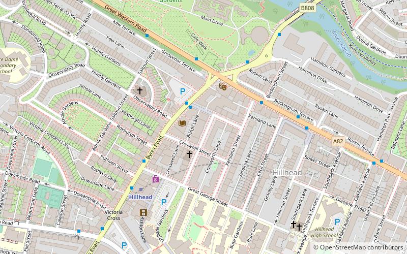
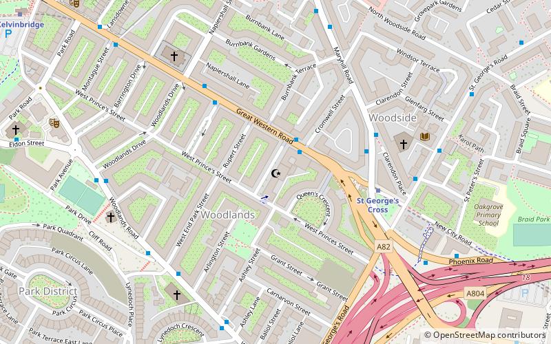
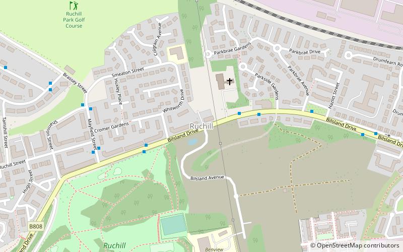
Map
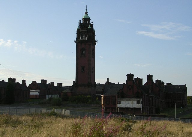
Gallery
Facts and practical information
Ruchill is a district in the city of Glasgow. It lies within the Canal Ward of North Glasgow in the Ruchill Community Council area between the Maryhill and Possilpark areas of the city. It has traditionally been characterised by a high degree of deprivation and social problems. However, from the late 1990s much of the poorer-quality housing stock has been cleared to be replaced by newly built housing association and owner-occupied homes, improving much of the area's character. ()
Coordinates: 55°53'18"N, 4°16'9"W
Address
North KelvinGlasgow
ContactAdd
Social media
Add
Day trips
Ruchill – popular in the area (distance from the attraction)
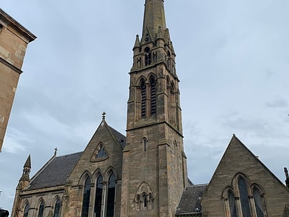
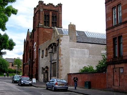
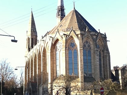
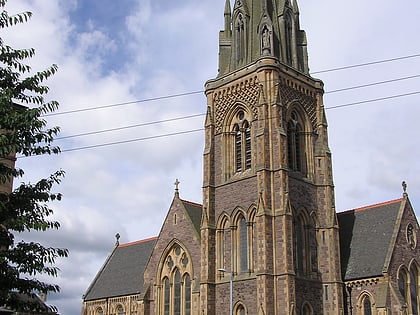
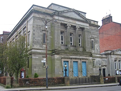
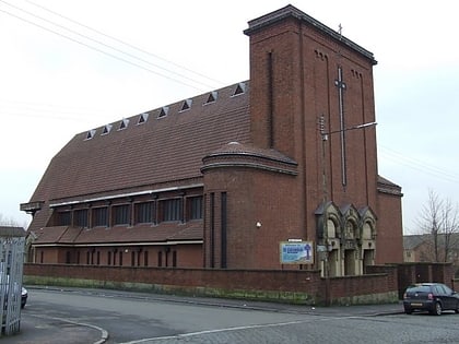
Nearby attractions include: Queen's Cross Church, Glasgow Botanic Gardens, Websters Theatre, Ruchill Church Hall.
Frequently Asked Questions (FAQ)
Which popular attractions are close to Ruchill?
Nearby attractions include Ruchill Park, Glasgow (7 min walk), Lambhill, Glasgow (14 min walk), Ruchill Parish Church, Glasgow (15 min walk), Ruchill Church Hall, Glasgow (15 min walk).
How to get to Ruchill by public transport?
The nearest stations to Ruchill:
Bus
Train
Metro
Bus
- Mayfield Street / Ruchill Street • Lines: 90 (5 min walk)
- Curzon Street / Leighton Street • Lines: 90 (7 min walk)
Train
- Possilpark and Parkhouse (12 min walk)
- Gilshochill (21 min walk)
Metro
- Kelvinbridge • Lines: Subway (28 min walk)
- Hillhead • Lines: Subway (34 min walk)


