Corkerhill, Glasgow
Map
Gallery
Facts and practical information
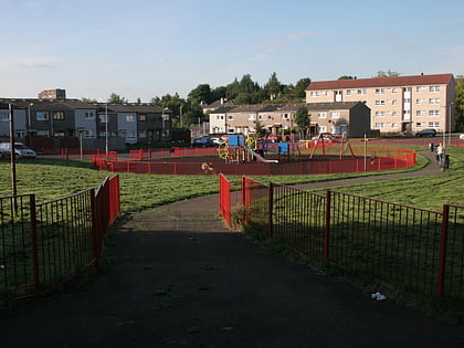
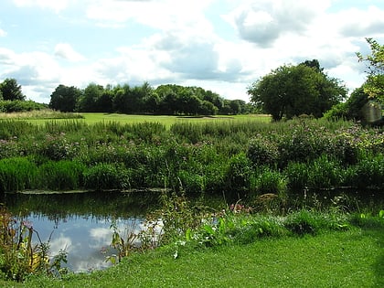
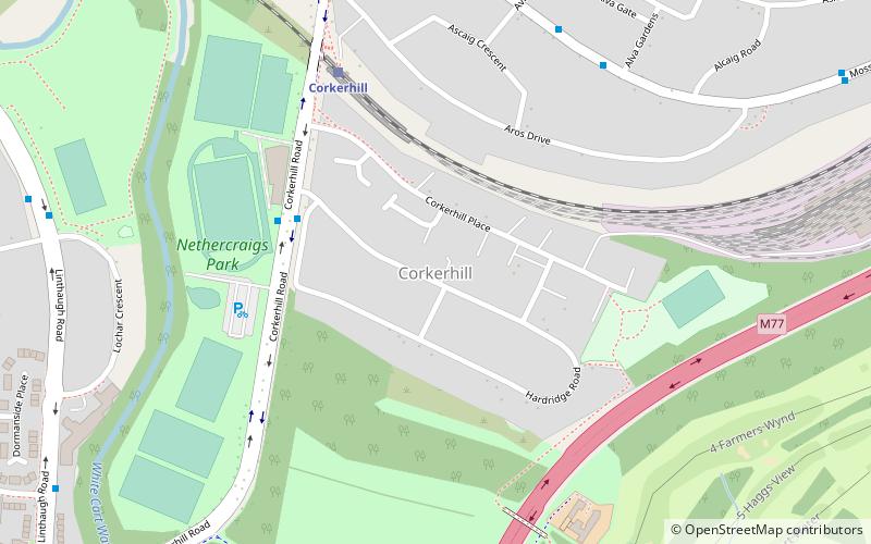
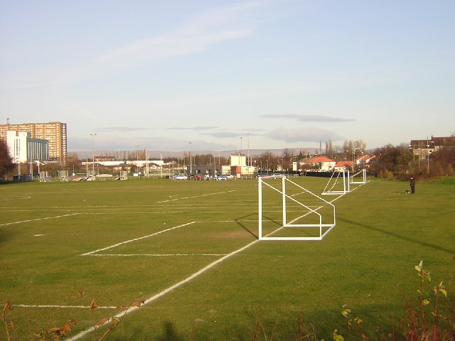
Corkerhill is a neighbourhood of Glasgow, Scotland, southwest of the city centre. The area was originally a farm and a few houses built for workers of the Glasgow and South Western Railway at the Corkerhill Depot. The engine sheds and sidings are still present, although Corkerhill signal box to the rear of the houses now facing Mosspark shops was demolished in the late 1970s. ()
Coordinates: 55°50'7"N, 4°19'57"W
Address
South Side (Mosspark)Glasgow
ContactAdd
Social media
Add
Day trips
Corkerhill – popular in the area (distance from the attraction)
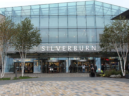
Nearby attractions include: Burrell Collection, Ibrox Stadium, Pollok House, Silverburn Shopping Centre.
Frequently Asked Questions (FAQ)
Which popular attractions are close to Corkerhill?
Nearby attractions include St James' Parish Church, Glasgow (16 min walk), Pollok House, Glasgow (18 min walk), Pollok Country Park, Glasgow (21 min walk), Bellahouston Park, Glasgow (23 min walk).
How to get to Corkerhill by public transport?
The nearest stations to Corkerhill:
Train
Bus
Train
- Corkerhill (5 min walk)
- Mosspark (18 min walk)
Bus
- Ashdale Drive / Mosspark Pr School • Lines: 59 (8 min walk)
- Paisley Road West / Lourdes Avenue • Lines: 38, 38A (20 min walk)
