Croftfoot, Glasgow

Gallery (3)
Map
Map
Gallery
Facts and practical information
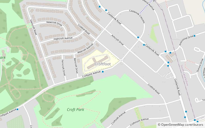
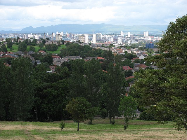
Croftfoot is a residential area on the southeastern side of the Scottish city of Glasgow. It is bordered by Castlemilk to the south and King's Park to the west within Glasgow, and by the Rutherglen areas of Spittal to the east and Bankhead to the north. Historically within the civil parish of Cathcart in Renfrewshire, it is within the Linn ward of Glasgow City Council. ()
Coordinates: 55°48'53"N, 4°13'60"W
Address
South Side (Croftfoot)Glasgow
ContactAdd
Social media
Add
Getting there by public transportation
Public transportation stops near this location
- Bus
- Train
 Bus
Bus
- Calculate routeCroftpark Avenue / Crofthill Road 1 min walk
- Calculate routeCastlemilk Road / Lugar Place 6 min walk
- Calculate routeLugar Place / Croftend Avenue 6 min walk
- Calculate routeCroftfoot 8 min walk
- Calculate routeKings Park 15 min walk
- Calculate routeCathcart 28 min walk
- Calculate routeRutherglen 35 min walk
Day trips


Frequently Asked Questions (FAQ)
Which popular attractions are close to Croftfoot?
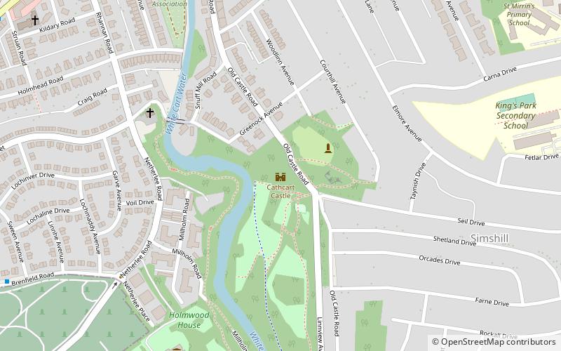
Nearby attractions include King's Park, Glasgow (17 min walk), Simshill, Glasgow (17 min walk), Cathcart Castle, Glasgow (23 min walk), Cathcart Old Church, Glasgow (24 min walk).
How to get to Croftfoot by public transport?
The nearest stations to Croftfoot:
Bus
Train
Bus
- Croftpark Avenue / Crofthill Road • Lines: M2 (1 min walk)
- Castlemilk Road / Lugar Place • Lines: M2 (6 min walk)
Train
- Croftfoot (8 min walk)
- Kings Park (15 min walk)