Cathkin Braes, Glasgow
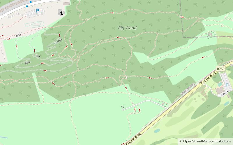
Map
Map

Facts and practical information
Cathkin Braes is an area of hills to the south east of the city of Glasgow, in Scotland. It lies to the south of the districts of Castlemilk, Fernhill and Burnside, and to the east of Carmunnock. ()
Elevation: 643 ft a.s.l.Coordinates: 55°47'56"N, 4°12'58"W
Address
Glasgow
ContactAdd
Social media
Add
Day trips
Cathkin Braes – popular in the area (distance from the attraction)
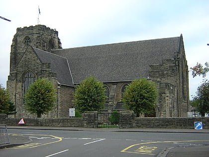
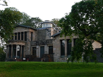
Nearby attractions include: National Museum of Rural Life, Rutherglen Town Hall, Cathcart Old Church, Holmwood House.
Frequently Asked Questions (FAQ)
How to get to Cathkin Braes by public transport?
The nearest stations to Cathkin Braes:
Bus
Bus
- Kenmure Way • Lines: 14 (15 min walk)
- House number 117 • Lines: 14 (16 min walk)


