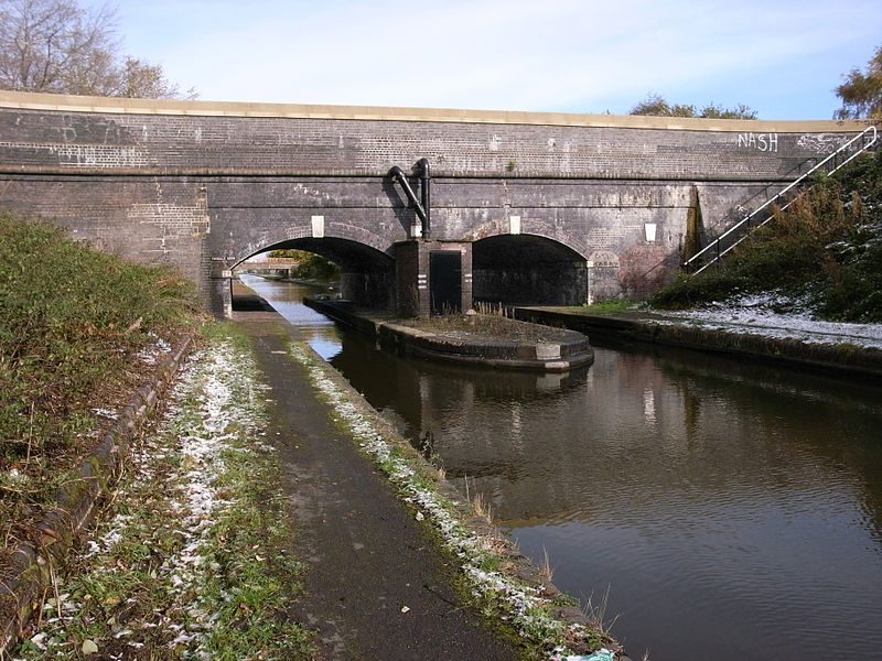
Netherton Tunnel Branch Canal, Dudley
Map
Gallery
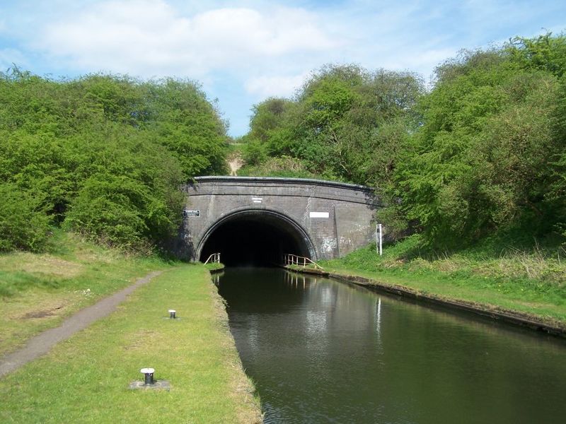
Facts and practical information
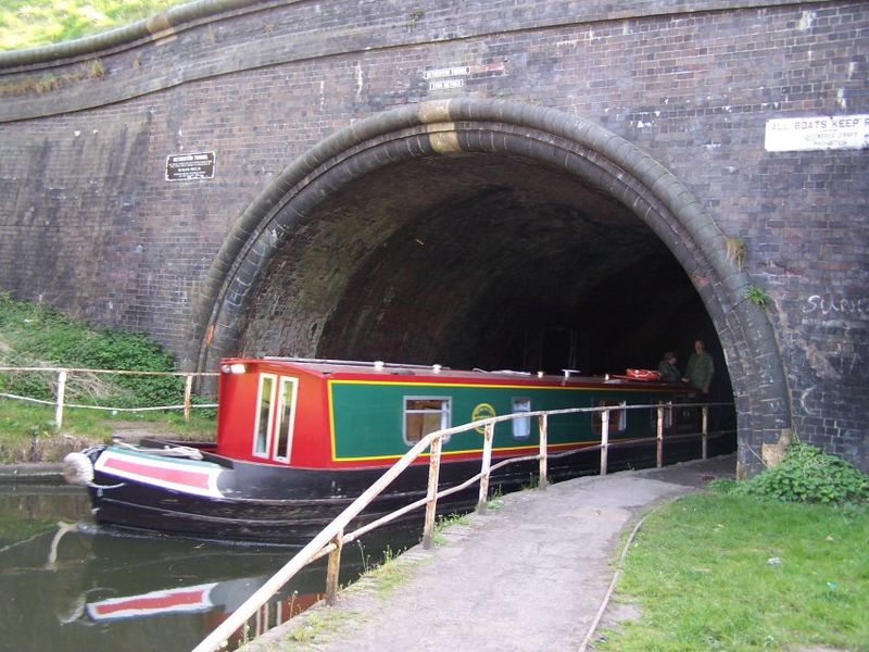
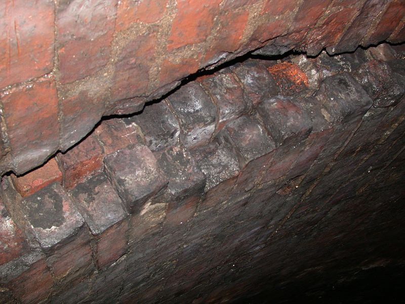
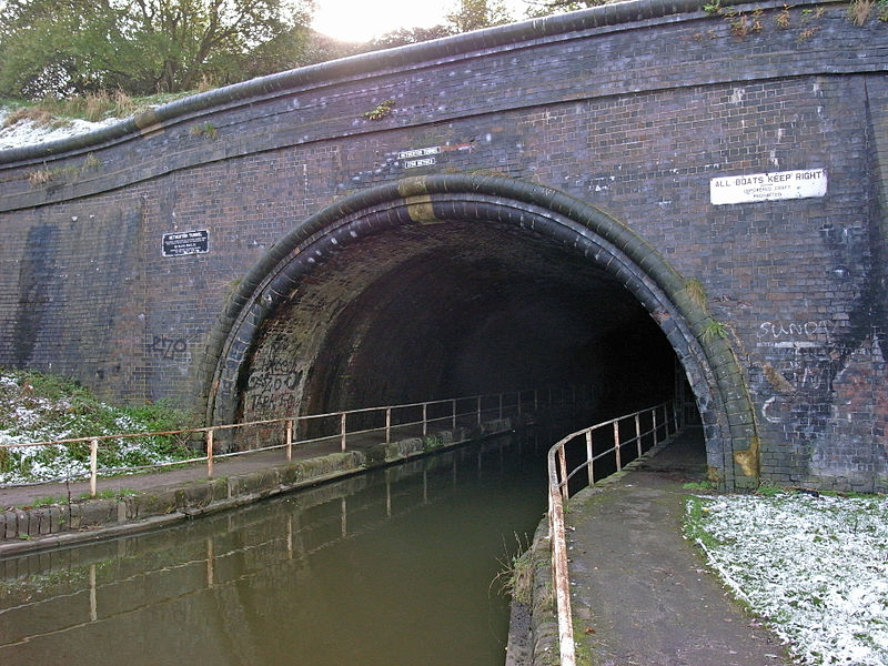
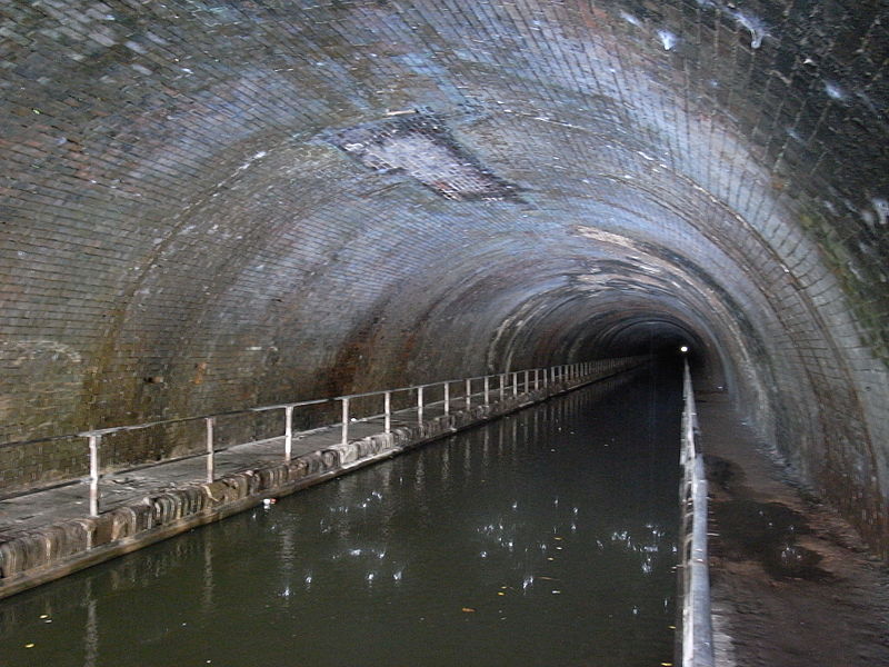
Netherton Tunnel Branch Canal, in the West Midlands county, England, is part of the Birmingham Canal Navigations,. It was constructed at a 453–foot elevation, the Wednesbury or Birmingham level; it has no locks. The total length of the branch canal is 2.4 miles and the canal tunnel is 9,081 feet long. ()
Opened: 20 August 1858 (167 years ago)Length: 9081 ftCoordinates: 52°29'36"N, 2°4'9"W
Address
Sandwell (Rowley)Dudley
ContactAdd
Social media
Add
Day trips
Netherton Tunnel Branch Canal – popular in the area (distance from the attraction)
Nearby attractions include: Church of St Andrew, Bumble Hole Local Nature Reserve, Warren's Hall Country Park, Turners Hill.
Frequently Asked Questions (FAQ)
Which popular attractions are close to Netherton Tunnel Branch Canal?
Nearby attractions include Warren's Hall Country Park, Dudley (3 min walk), Bumble Hole Branch Canal, Dudley (4 min walk), Bumble Hole Local Nature Reserve, Dudley (4 min walk), Netherton, Dudley (17 min walk).
How to get to Netherton Tunnel Branch Canal by public transport?
The nearest stations to Netherton Tunnel Branch Canal:
Bus
Bus
- Dudley Rd / Warrens Hall Park • Lines: X8 (7 min walk)
- New Rowley Rd / Lansdowne Close • Lines: X8 (10 min walk)


