Bumble Hole Local Nature Reserve, Dudley
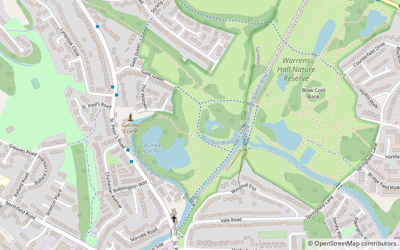
Map

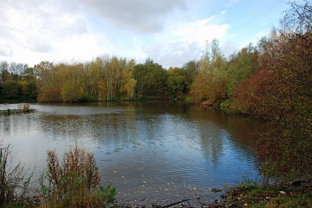
Gallery

Facts and practical information
Bumble Hole Local Nature Reserve is situated in the Netherton area of Dudley Metropolitan Borough in the county of West Midlands, England. This former industrial area now features canals, ponds, grassland and wooded areas. The reserve lies adjacent to the Warren's Hall Local Nature Reserve. It was declared a local nature reserve in 1996. ()
Created: 1996Area: 23.3 acres (0.0364 mi²)Elevation: 459 ft a.s.l.Coordinates: 52°29'31"N, 2°4'19"W
Day trips
Bumble Hole Local Nature Reserve – popular in the area (distance from the attraction)
Nearby attractions include: Saltwells Local Nature Reserve, Church of St Andrew, Parkhead Viaduct, Warren's Hall Country Park.
Frequently Asked Questions (FAQ)
Which popular attractions are close to Bumble Hole Local Nature Reserve?
Nearby attractions include Bumble Hole Branch Canal, Dudley (4 min walk), Netherton Tunnel Branch Canal, Dudley (4 min walk), Warren's Hall Country Park, Dudley (7 min walk), Netherton, Dudley (13 min walk).
How to get to Bumble Hole Local Nature Reserve by public transport?
The nearest stations to Bumble Hole Local Nature Reserve:
Bus
Bus
- Dudley Rd / Warrens Hall Park • Lines: X8 (11 min walk)
- New Rowley Rd / Lansdowne Close • Lines: X8 (13 min walk)


