Turners Hill, Birmingham
Map

Map

Facts and practical information
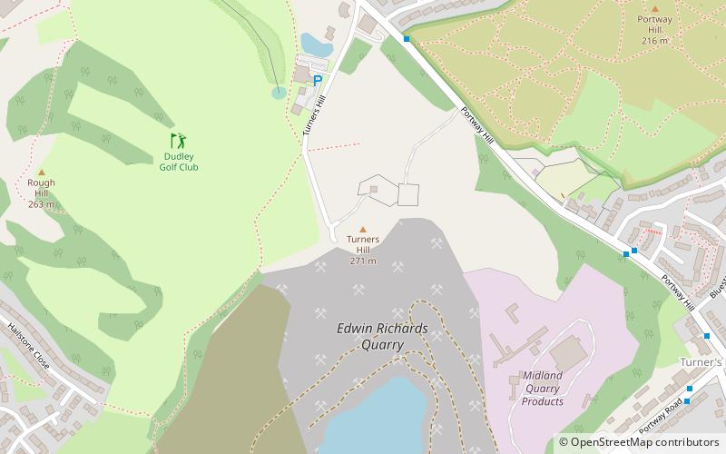
Turners Hill or Turner's Hill is the highest hill in the county of West Midlands, United Kingdom at 271 metres above sea level. The hill is in the Rowley Hills range, situated in Rowley Regis, near the boundary with Dudley. ()
Elevation: 889 ftCoordinates: 52°29'45"N, 2°2'58"W
Day trips
Turners Hill – popular in the area (distance from the attraction)
Nearby attractions include: JB's, Shri Venkateswara Temple, Bumble Hole Local Nature Reserve, Warren's Hall Country Park.
Frequently Asked Questions (FAQ)
Which popular attractions are close to Turners Hill?
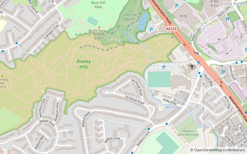
Nearby attractions include Rowley Hills, West Bromwich (2 min walk), Portway Hill, Birmingham (18 min walk), Warren's Hall Country Park, Dudley (20 min walk), Netherton Tunnel Branch Canal, Dudley (22 min walk).
How to get to Turners Hill by public transport?
The nearest stations to Turners Hill:
Bus
Bus
- Dudley Rd / Wendover Rd • Lines: X8 (13 min walk)


