Beinn nan Aighenan, Ben Nevis and Glen Coe National Scenic Area

Gallery (1)
Map
Map
Facts and practical information
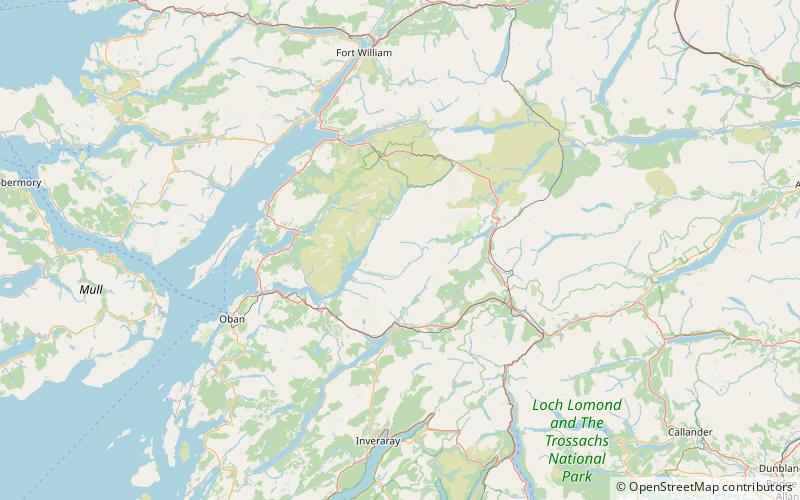
Beinn nan Aighenan is a 960-metre high mountain in the Grampian Mountains of Scotland. It lies in Argyll and Bute, north of the village of Taynuilt. ()
Address
Ben Nevis and Glen Coe National Scenic Area
ContactAdd
Social media
Add
Day trips


