Glas Bheinn Mhòr, Ben Nevis and Glen Coe National Scenic Area
#3 among attractions in Ben Nevis and Glen Coe National Scenic Area


Facts and practical information
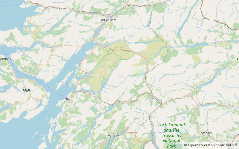
Glas Bheinn Mhor is a mountain in the Grampian Mountains of Scotland, south of Glen Etive. The Argyll and Bute and Highland border straddles its summit. ()
Ben Nevis and Glen Coe National Scenic Area United Kingdom
Glas Bheinn Mhòr – popular in the area (distance from the attraction)
Nearby attractions include: Stob Ghabhar, Beinn Mhic Chasgaig, Stob Dubh, Beinn nan Aighenan.
 Nature, Natural attraction, Mountain
Stob Ghabhar
129 min walk • Stob Ghabhar is a Scottish mountain nine kilometres north west of Bridge of Orchy. It is part of the Black Mount group of mountains and stands on the border of the Argyll and Bute and Highland council areas.
 Mountain
Beinn Mhic Chasgaig, Ben Nevis and Glen Coe National Scenic Area
158 min walk • Beinn Mhic Chasgaig is a mountain in the Grampian Mountains of Scotland. It lies near the head of Glen Etive in Highland. A steep and craggy peak, it is surrounded by high Munros and provides a very steep and challenging climb to its summit.
 Mountain
Stob Dubh, Ben Nevis and Glen Coe National Scenic Area
96 min walk • Stob Dubh is a mountain in the Grampian Mountains of Scotland, at the head of Loch Etive north of the village of Taynuilt. The mountain offers excellent hillwalking opportunities, and even though it is tough going in places, it is possible to reach the summit without any scrambling.
 Mountain
Beinn nan Aighenan, Ben Nevis and Glen Coe National Scenic Area
39 min walk • Beinn nan Aighenan is a 960-metre high mountain in the Grampian Mountains of Scotland. It lies in Argyll and Bute, north of the village of Taynuilt.
 Mountain
Stob Coir' an Albannaich, Ben Nevis and Glen Coe National Scenic Area
34 min walk • Stob Coir' an Albannaich is a mountain in the Grampian Mountains of Scotland. It lies on the border of Argyll and Bute and the Highlands area, south of Glen Etive. The mountain makes for a fine traverse. The closest village is Taynuilt to the south.
 Nature, Natural attraction, Mountain
Ben Starav
44 min walk • Ben Starav is a Scottish mountain in the Highlands lying south of Glen Etive that rises to its full 1,078-metre height above Loch Etive at its western foot.
 Mountain
Meall nan Eun, Ben Nevis and Glen Coe National Scenic Area
70 min walk • Meall nan Eun is a mountain in the Grampian Mountains of Scotland. It is located east of Glen Etive in Argyll and Bute. A dome like mountain with a rounded top but steep sides, it has a summit plateau.
 Lake
LakeLoch Dochard, Ben Nevis and Glen Coe National Scenic Area
95 min walk • Loch Dochard is an upland freshwater loch lying approximately 6 km west of Bridge of Orchy in Argyll and Bute, Scottish Highlands. The loch has an irregular shape with a perimeter of 3 km. It is approximately 1.06 km long, has an average depth of 3.7 m and is 13 m at its deepest.
 Nature, Natural attraction, Mountain
Creise
182 min walk • Creise is a Scottish mountain that stands at the eastern end of Glen Coe, just to the south of the A82 road, some 26 kilometres South-southeast of Fort William in the Highland Council area.
 Nature, Natural attraction, Valley
Glen Etive
105 min walk • Glen Etive is a glen in the Highlands of Scotland. The River Etive rises on the peaks surrounding Rannoch Moor, with several tributary streams coming together at the Kings House Hotel, at the head of Glen Coe.
 Nature, Natural attraction, Mountain
Beinn Fhionnlaidh
142 min walk • Beinn Fhionnlaidh is a mountain in the West Highlands of Scotland. It is situated between Glen Etive and Glen Creran, to the south of Glen Coe.
