New College Lane, Oxford
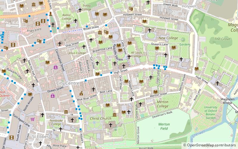
Map
Gallery
Facts and practical information
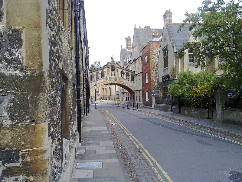
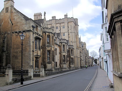
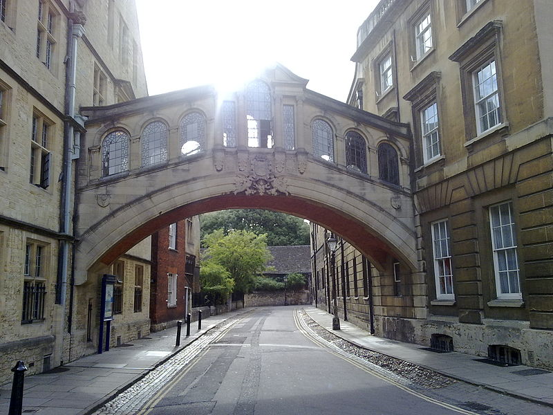
New College Lane is a historic street in central Oxford, England, named after New College, one of the older Oxford colleges, adjacent to the north. ()
Coordinates: 51°45'16"N, 1°15'12"W
Address
HolywellOxford
ContactAdd
Social media
Add
Day trips
New College Lane – popular in the area (distance from the attraction)
Nearby attractions include: High Street, University Church of St Mary the Virgin, Sheldonian Theatre, History of Science Museum.
Frequently Asked Questions (FAQ)
Which popular attractions are close to New College Lane?
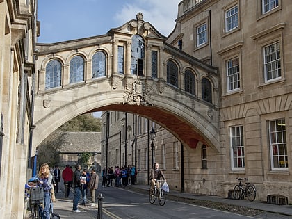
Nearby attractions include Hertford College, Oxford (1 min walk), Bridge of Sighs, Oxford (1 min walk), Catte Street, Oxford (1 min walk), Weston Library, Oxford (1 min walk).
How to get to New College Lane by public transport?
The nearest stations to New College Lane:
Bus
Train
Bus
- Queens Lane • Lines: 10, 15, 280, 3A, 5A, Lgw, Lhr, Tube, U1, X3, X90 (4 min walk)
- Turl Street • Lines: 280, 3A, U1 (5 min walk)
Train
- Oxford (19 min walk)


