Balls Pond Road Cemetery, London
Map
Facts and practical information
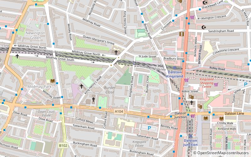
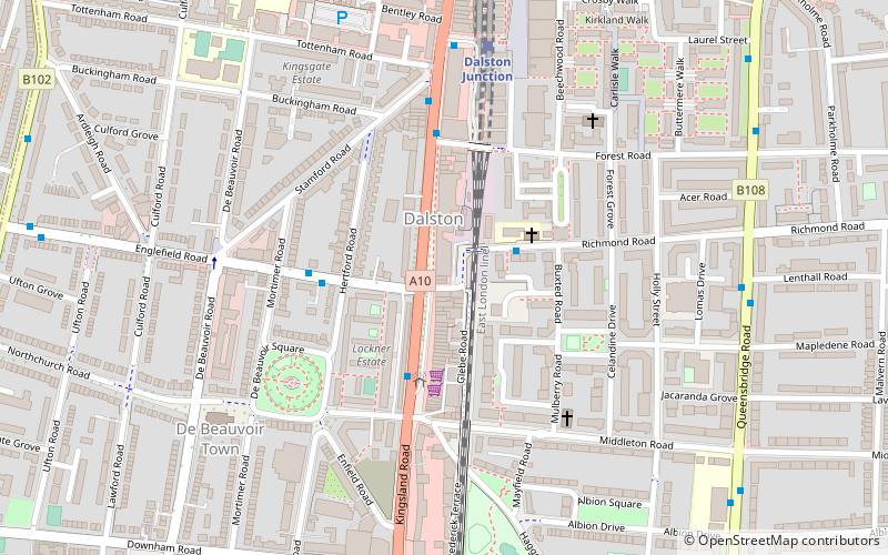
Balls Pond Road Cemetery, also known as Jewish Cemetery, Kingsbury Road Cemetery, Balls Pond Burial Ground and The Jewish Burial Ground, is a Jewish cemetery on Kingsbury Road, Dalston, London N1. It was founded in 1843 and is owned by West London Synagogue. Prominent early members of that place of worship, such as the de Stern, Goldsmid and Mocatta families, are buried in this cemetery. Other notable burials include the ashes of Amy Levy, the first Jewish woman at Cambridge University and the first Jewish woman to be cremated in England. The last burial at the cemetery was in 1951. The cemetery has been Grade II listed since 2020. ()
Coordinates: 51°32'52"N, 0°4'46"W
Address
Islington (Mildmay)London
ContactAdd
Social media
Add
Getting there by public transportation
Public transportation stops near this location
- Metro
- Bus
- Train
 Metro
Metro
- Calculate routeCulford Road 3 min walk
- Calculate routeBalls Pond Road / Burder Road 4 min walk
- Calculate routeKingsland High Street / Dalston Junction 5 min walk
- Calculate routeDalston Kingsland 4 min walk
- Calculate routeDalston Junction 7 min walk
- Calculate routeCanonbury 15 min walk
- Calculate routeHaggerston 17 min walk
- Calculate routeHighbury & Islington 27 min walk
- Calculate routeAngel 40 min walk
- Calculate routeFinsbury Park 43 min walk
Maps Tube
Tube
TubeDay trips


Frequently Asked Questions (FAQ)
Which popular attractions are close to Balls Pond Road Cemetery?
Nearby attractions include Ridley Road Market, London (7 min walk), Newington Green, London (8 min walk), Shacklewell Lane Mosque, London (9 min walk), Newington Green Unitarian Church, London (10 min walk).
How to get to Balls Pond Road Cemetery by public transport?
The nearest stations to Balls Pond Road Cemetery:
Bus
Train
Metro
Bus
- Culford Road • Lines: 30, 38, 56, N277, N38 (3 min walk)
- Balls Pond Road / Burder Road • Lines: 30, 38, 56, N277, N38 (4 min walk)
Train
- Dalston Kingsland (4 min walk)
- Dalston Junction (7 min walk)
Metro
- Highbury & Islington • Lines: Victoria (27 min walk)
- Angel • Lines: Northern (40 min walk)