Kennington Park, London
Map
Gallery
Facts and practical information
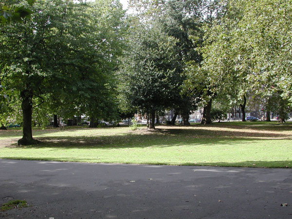
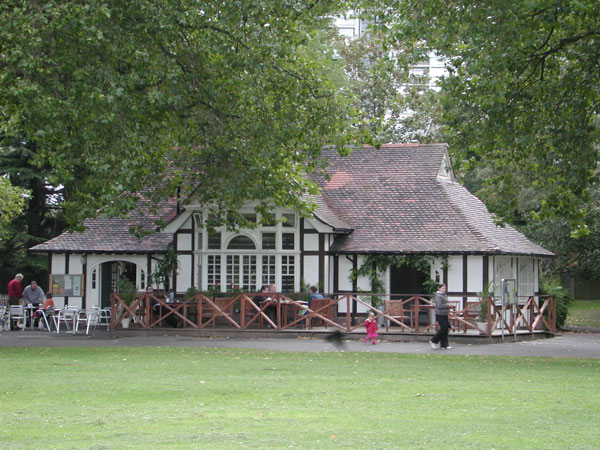
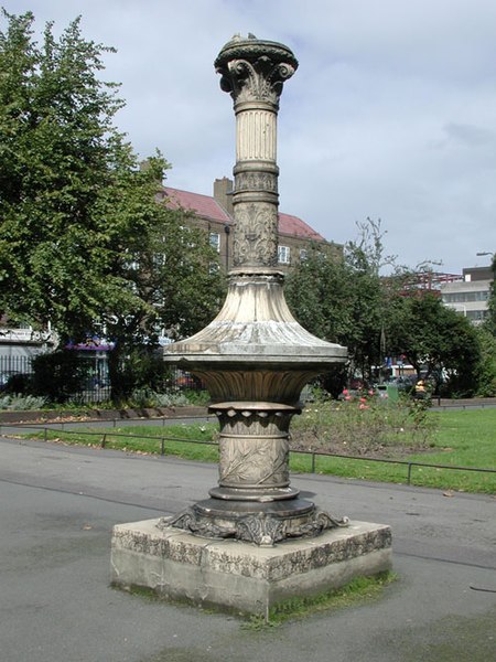
Kennington Park is a public park in Kennington, south London and lies between Kennington Park Road and St. Agnes Place. It was opened in 1854 on the site of what had been Kennington Common, where the Chartists gathered for their biggest "monster rally" on 10 April 1848. Soon after this demonstration the common was enclosed and, sponsored by the royal family, made into a public park. ()
Elevation: 20 ft a.s.l.Coordinates: 51°29'1"N, 0°6'32"W
Day trips
Kennington Park – popular in the area (distance from the attraction)
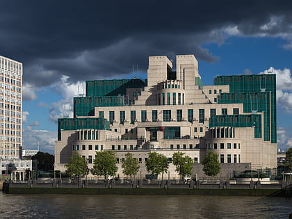
Nearby attractions include: The Oval, SIS Building, The Cinema Museum, Vauxhall Gardens.
Frequently Asked Questions (FAQ)
Which popular attractions are close to Kennington Park?
Nearby attractions include Ovalhouse, London (6 min walk), White Bear Theatre, London (6 min walk), The Oval, London (7 min walk), Gasworks, London (8 min walk).
How to get to Kennington Park by public transport?
The nearest stations to Kennington Park:
Metro
Bus
Train
Ferry
Metro
- Oval • Lines: Northern (5 min walk)
- Kennington • Lines: Northern (9 min walk)
Bus
- John Ruskin Street • Lines: 185, 36, 436, N136 (7 min walk)
- Cook's Road • Lines: P5 (8 min walk)
Train
- Vauxhall (16 min walk)
- Elephant & Castle (22 min walk)
Ferry
- St. George Wharf • Lines: Rb2 (21 min walk)
- Millbank Millennium Pier • Lines: Rb2 (23 min walk)



 Tube
Tube
