The Rom, South Ockendon
Map
Facts and practical information
The Rom is a Grade II listed skatepark in Hornchurch, East London, England. Built in 1978, and designed by Adrian Rolt of G-Force, it is the most completely preserved purpose-built skatepark in England. It is the first skatepark in Europe to achieve listed status and the second such structure worldwide. ()
Coordinates: 51°33'22"N, 0°11'19"E
Address
Havering (Hylands)South Ockendon
ContactAdd
Social media
Add
Getting there by public transportation
Public transportation stops near this location
- Metro
- Bus
 Metro
Metro
- Calculate routeLaburnum Avenue 1 min walk
- Calculate routeChestnut Avenue 6 min walk
- Calculate routeHarrow Lodge Park 6 min walk
- Calculate routeElm Park 16 min walk
- Calculate routeDagenham East 34 min walk
Day trips


Frequently Asked Questions (FAQ)
Which popular attractions are close to The Rom?
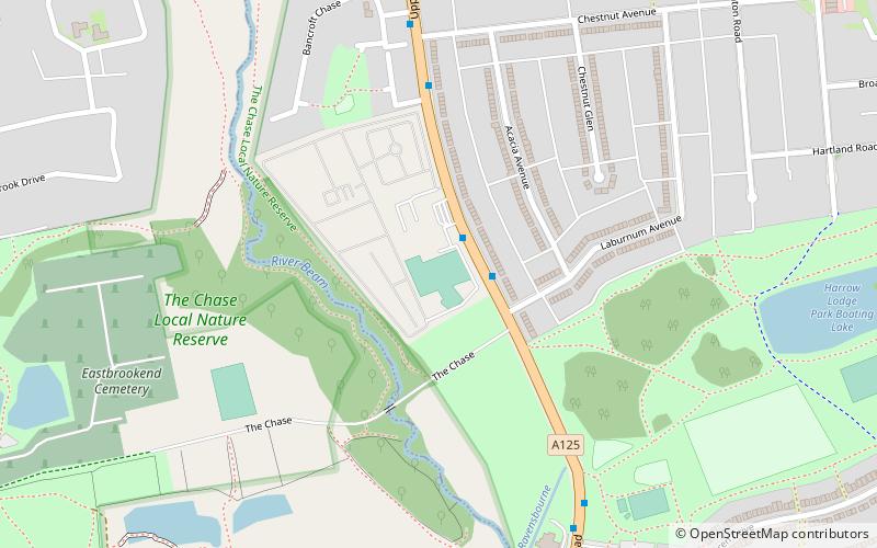
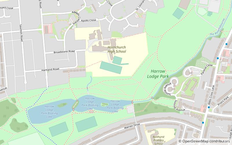
Nearby attractions include The Chase Nature Reserve, South Ockendon (7 min walk), Eastbrookend Country Park, South Ockendon (14 min walk), Harrow Lodge Park, South Ockendon (15 min walk).
How to get to The Rom by public transport?
The nearest stations to The Rom:
Bus
Metro
Bus
- Laburnum Avenue • Lines: 252 (1 min walk)
- Chestnut Avenue • Lines: 252 (6 min walk)
Metro
- Elm Park • Lines: District (16 min walk)
- Dagenham East • Lines: District (34 min walk)