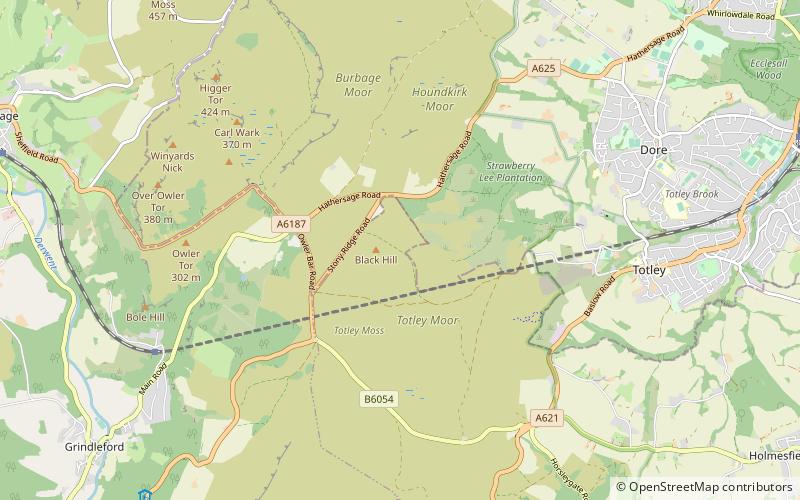
Totley Moor, Peak District
Map

Map

Facts and practical information
Totley Moor is an open moorland hill to the west of the Sheffield suburb of Totley, in the Derbyshire Peak District. The summit is 395 metres above sea level. ()
Coordinates: 53°18'58"N, 1°35'2"W
Address
Peak District
ContactAdd
Social media
Add
Day trips
Totley Moor – popular in the area (distance from the attraction)
Nearby attractions include: Carl Wark, Hathersage Road, Longshaw Estate, Totley Tunnel.
Frequently Asked Questions (FAQ)
Which popular attractions are close to Totley Moor?
Nearby attractions include Totley Tunnel, Sheffield (9 min walk), Hathersage Road, Sheffield (19 min walk), Longshaw Estate, Peak District (22 min walk).
How to get to Totley Moor by public transport?
The nearest stations to Totley Moor:
Bus
Bus
- Hathersage Road/Stony Ridge Road • Lines: 271, 272, 65 (13 min walk)
- Longshaw • Lines: 65 (21 min walk)


