Longshaw Estate, Peak District
Map

Map

Facts and practical information
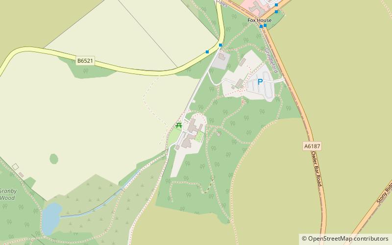
Longshaw Estate is an area of moorland, woodland and farmland located within the Peak District National Park, Derbyshire, England. ()
Elevation: 1086 ft a.s.l.Coordinates: 53°18'57"N, 1°36'16"W
Day trips
Longshaw Estate – popular in the area (distance from the attraction)
Nearby attractions include: Carl Wark, Padley Gorge, Padley Chapel, Totley Moor.
Frequently Asked Questions (FAQ)
When is Longshaw Estate open?
Longshaw Estate is open:
- Monday 24h
- Tuesday 24h
- Wednesday 24h
- Thursday 24h
- Friday 24h
- Saturday 24h
- Sunday 24h
Which popular attractions are close to Longshaw Estate?
Nearby attractions include Hathersage Road, Sheffield (6 min walk), Totley Moor, Peak District (22 min walk), Totley Tunnel, Sheffield (23 min walk).
How to get to Longshaw Estate by public transport?
The nearest stations to Longshaw Estate:
Bus
Train
Bus
- Longshaw • Lines: 65 (11 min walk)
- Hathersage Road/The Fox House Inn • Lines: 271, 272, 65 (7 min walk)
Train
- Grindleford (29 min walk)


