Carl Wark, Sheffield
Map

Gallery

Facts and practical information
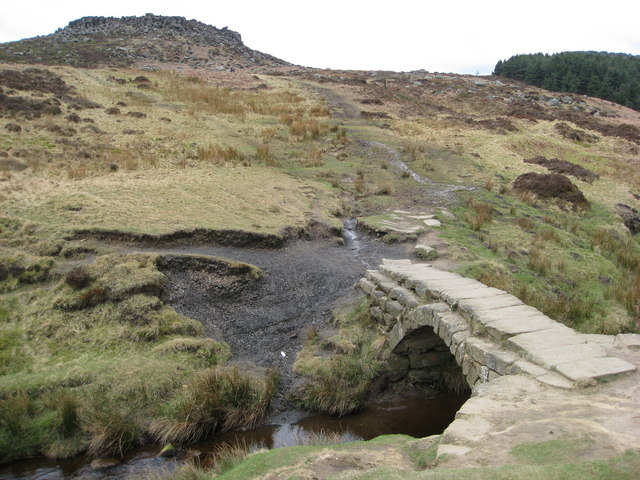
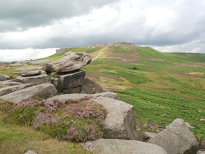
Carl Wark is a rocky promontory on Hathersage Moor in the Peak District National Park, just inside the boundary of Sheffield, England. The promontory is faced by vertical cliffs on all but one side, which is protected by a prehistoric embankment. The cliffs and embankment form an enclosure that has been interpreted as an Iron Age hill fort, though the date of construction and purpose of the fortifications remains unknown. The site is a scheduled monument. ()
Coordinates: 53°19'45"N, 1°36'43"W
Day trips
Carl Wark – popular in the area (distance from the attraction)
Nearby attractions include: Higger Tor, Totley Moor, Hathersage Road, Longshaw Estate.
Frequently Asked Questions (FAQ)
Which popular attractions are close to Carl Wark?
Nearby attractions include Higger Tor, Peak District (9 min walk), Hathersage Road, Sheffield (22 min walk).
How to get to Carl Wark by public transport?
The nearest stations to Carl Wark:
Bus
Bus
- Hathersage Road/Burbage Bridge • Lines: 271, 272 (15 min walk)
- Hathersage Road/The Fox House Inn • Lines: 271, 272, 65 (22 min walk)


