Deptford Wharf, London
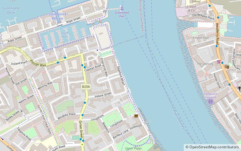
Map
Facts and practical information
Deptford Wharf in London, UK is situated on the Thames Path southeast of South Dock Marina, across the culverted mouth of the Earl's Sluice and north of Aragon Tower. In the late 18th and early 19th century this area was used for shipbuilding with several building slips. With the coming of the railway in 1848 Deptford wharf and docks were used to import coal and for other goods. The housing here, completed in 1992, is on the site of former railway sidings and riverside wharves. ()
Coordinates: 51°29'30"N, 0°1'54"W
Address
Lewisham (Evelyn)London
ContactAdd
Social media
Add
Day trips
Deptford Wharf – popular in the area (distance from the attraction)
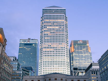
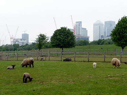
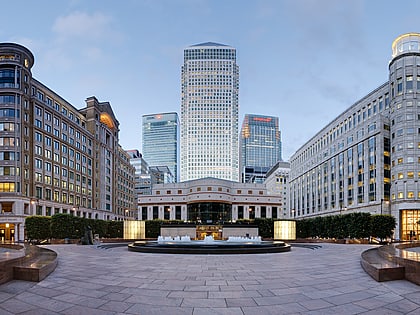
Nearby attractions include: One Canada Square, The Den, 20 Bank Street, Mudchute Park and Farm.
Frequently Asked Questions (FAQ)
Which popular attractions are close to Deptford Wharf?
Nearby attractions include The Space, London (9 min walk), Convoys Wharf, London (11 min walk), Deptford Park, London (13 min walk), Surrey Docks Farm, London (15 min walk).
How to get to Deptford Wharf by public transport?
The nearest stations to Deptford Wharf:
Ferry
Bus
Train
Light rail
Metro
Ferry
- Greenland Pier • Lines: Rb1 (6 min walk)
- Masthouse Terrace Pier • Lines: Rb1 (13 min walk)
Bus
- Crews Street • Lines: 277, N277 (8 min walk)
- Arnhem Wharf Primary School • Lines: 277, N277 (9 min walk)
Train
- Surrey Quays (18 min walk)
- Deptford (24 min walk)
Light rail
- Mudchute Platform 2 • Lines: B-L, S-L (19 min walk)
- Crossharbour Platform 2 • Lines: B-L, S-L (21 min walk)
Metro
- Canada Water • Lines: Jubilee (23 min walk)
- Canary Wharf • Lines: Jubilee (26 min walk)
 Tube
Tube