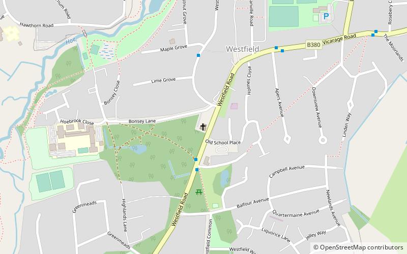
St Mark's Church, Woking
Map

Map

Facts and practical information
St Mark's Church is located in Westfield, Woking, England. The church is in the Parish of the South Woking Team Ministry and the Diocese of Guildford. ()
Completed: 1849 (177 years ago)Coordinates: 51°18'1"N, 0°33'40"W
Day trips
St Mark's Church – popular in the area (distance from the attraction)
Nearby attractions include: Woking Park, White Rose Lane, Goldsworth Park, Old Woking.
Frequently Asked Questions (FAQ)
Which popular attractions are close to St Mark's Church?
Nearby attractions include Mayford Meadows, Woking (12 min walk), Woking Park, Woking (19 min walk), Woking College, Woking (19 min walk).
How to get to St Mark's Church by public transport?
The nearest stations to St Mark's Church:
Bus
Train
Bus
- The Cricketers • Lines: 34 (3 min walk)
- Apers Avenue • Lines: 34 (6 min walk)
Train
- Worplesdon (33 min walk)


