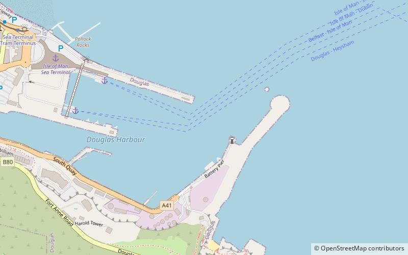
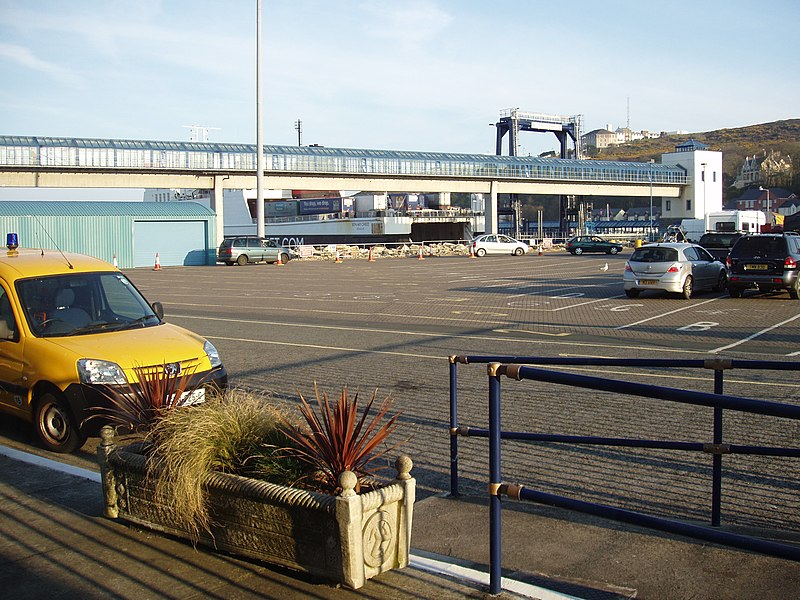
Douglas Harbour, Douglas

Gallery (3)
Map
Map
Gallery
Facts and practical information
Douglas Harbour is located near Douglas Head at the southern end of Douglas, the capital of the Isle of Man. It is the island's main commercial shipping port. The Port of Douglas was the first in the world to be equipped with radar. ()
Coordinates: 54°8'48"N, 4°28'2"W
Address
Douglas
ContactAdd
Social media
Add
Getting there by public transportation
Public transportation stops near this location
- Bus
- Tram
- Train
 Bus
Bus
- Calculate routeSea Terminal 10 min walk
- Calculate routeRegent Street 12 min walk
- Calculate routeLoch Promenade / Regent Street 13 min walk
- Calculate routeVictoria Street 13 min walk
- Calculate routeLoch Promenade 13 min walk
- Calculate routeDouglas Railway Station 19 min walk
Day trips


Frequently Asked Questions (FAQ)
Which popular attractions are close to Douglas Harbour?
Nearby attractions include Douglas Head, Douglas (7 min walk), Douglas Head Lighthouse, Douglas (7 min walk), St Mary's Isle, Douglas (7 min walk), Tower of Refuge, Douglas (7 min walk).
How to get to Douglas Harbour by public transport?
The nearest stations to Douglas Harbour:
Tram
Bus
Train
Tram
- Sea Terminal • Lines: Douglas Horse Tramway (10 min walk)
- Regent Street • Lines: Douglas Horse Tramway (12 min walk)
Bus
- Victoria Street • Lines: 1 (13 min walk)
- Loch Promenade • Lines: 1 (13 min walk)
Train
- Douglas Railway Station (19 min walk)