Jesmond Vale, Newcastle upon Tyne
Map
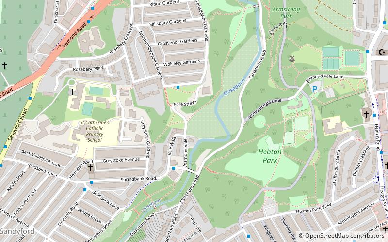
Map

Facts and practical information
Jesmond Vale is an area in the Ouseburn Valley, Newcastle upon Tyne, England that has a rich history with industrial archaeology, mature trees, and a variety of wildlife. It is a popular open space for recreation and for walkers. ()
Coordinates: 54°59'3"N, 1°35'24"W
Address
South JesmondNewcastle upon Tyne
ContactAdd
Social media
Add
Day trips
Jesmond Vale – popular in the area (distance from the attraction)
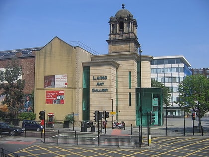
Nearby attractions include: Northumberland Street, Laing Art Gallery, People's Theatre, Newcastle City Hall.
Frequently Asked Questions (FAQ)
Which popular attractions are close to Jesmond Vale?
Nearby attractions include Cradlewell, Newcastle upon Tyne (8 min walk), Jesmond Old Cemetery, Newcastle upon Tyne (11 min walk), Shieldfield, Newcastle upon Tyne (11 min walk), People's Theatre, Newcastle upon Tyne (13 min walk).
How to get to Jesmond Vale by public transport?
The nearest stations to Jesmond Vale:
Bus
Light rail
Train
Bus
- Springbank Road-Blue Bell-W/B • Lines: 32 (3 min walk)
- Heaton Park Road-Warwick Street-S/B • Lines: 1 (6 min walk)
Light rail
- Jesmond • Lines: Green, Yellow (16 min walk)
- Byker • Lines: Yellow (18 min walk)
Train
- Manors (26 min walk)
- Newcastle (39 min walk)


