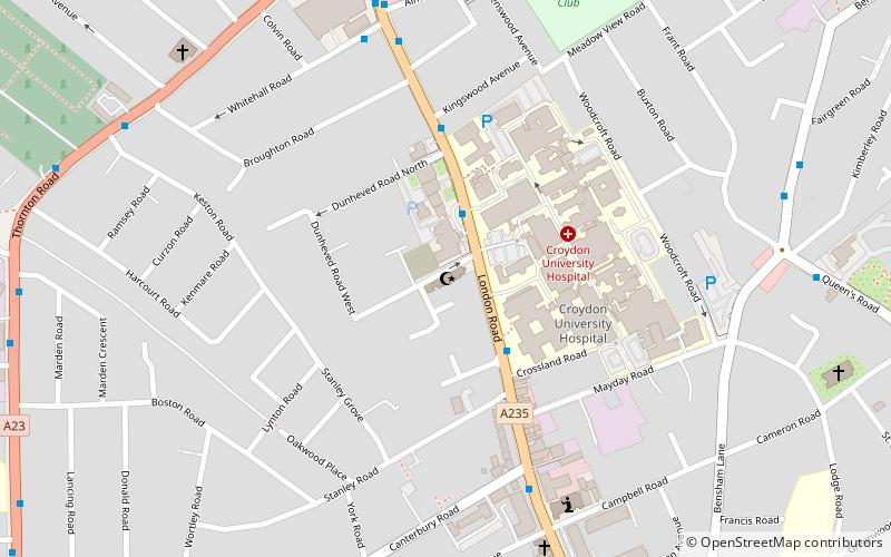
Croydon Mosque, London
Map

Map

Facts and practical information
Croydon Mosque & Islamic Centre is a mosque situated in Croydon, London. The organisation, Muslims in Britain, classify the Croydon Masjid as Deobandi. ()
Coordinates: 51°23'22"N, 0°6'45"W
Address
Croydon (West Thornton)London
ContactAdd
Social media
Add
Day trips
Croydon Mosque – popular in the area (distance from the attraction)
Nearby attractions include: Selhurst Park, St George's Walk, Whitgift Centre, Centrale.
Frequently Asked Questions (FAQ)
Which popular attractions are close to Croydon Mosque?
Nearby attractions include Queen's Road Cemetery, London (15 min walk), Purley Way, Banstead (20 min walk), Thornton Heath, London (20 min walk), Saffron Square, Warlingham (24 min walk).
How to get to Croydon Mosque by public transport?
The nearest stations to Croydon Mosque:
Bus
Tram
Train
Bus
- Thornton Heath Pond / Fairlands Avenue • Lines: 289, 663 (8 min walk)
- Brigstock Road / London Road • Lines: 198, 250, 663, N250 (8 min walk)
Tram
- Ampere Way • Lines: 2, 4 (18 min walk)
- Therapia Lane • Lines: 2, 4 (20 min walk)
Train
- Thornton Heath (22 min walk)
- West Croydon (23 min walk)

 Tube
Tube


