Oriel Square, Oxford
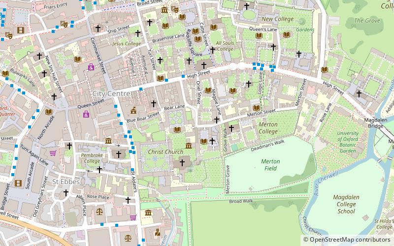
Map
Gallery

Facts and practical information
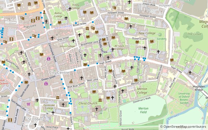
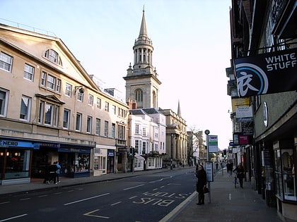
Oriel Square, formerly known as Canterbury Square, is a square in central Oxford, England, located south of the High Street. The name was changed after the Second World War at the request of Oriel College which maintained that the square had originally been known as Oriel Square. ()
Coordinates: 51°45'4"N, 1°15'15"W
Address
HolywellOxford
ContactAdd
Social media
Add
Day trips
Oriel Square – popular in the area (distance from the attraction)
Nearby attractions include: Turl Street, University Church of St Mary the Virgin, Christ Church Cathedral, Tom Quad.
Frequently Asked Questions (FAQ)
Which popular attractions are close to Oriel Square?
Nearby attractions include Christ Church Picture Gallery, Oxford (1 min walk), Christ Church Library, Oxford (1 min walk), Peckwater Quadrangle, Oxford (2 min walk), Oriel College, Oxford (2 min walk).
How to get to Oriel Square by public transport?
The nearest stations to Oriel Square:
Bus
Train
Bus
- Turl Street • Lines: 280, 3A, U1 (3 min walk)
- High Street • Lines: 5A (4 min walk)
Train
- Oxford (18 min walk)


