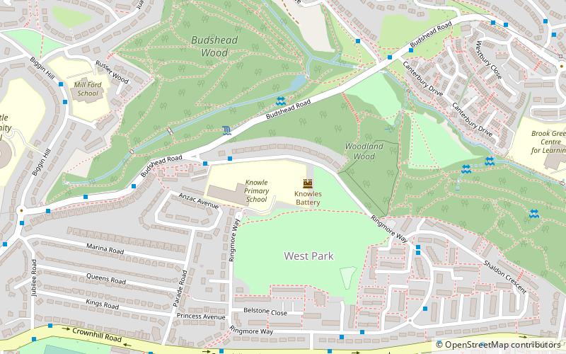
Knowles Battery, Plymouth
Map

Map

Facts and practical information
Knowles Battery is a former 19th-century fort, built as a result of the Royal Commission on National Defence of 1859. Part of an extensive scheme known as Palmerston Forts, after the prime minister who championed the scheme, it was built to defend the landward approaches to the north east of Plymouth, as an element of the plan for the defence of the Royal Naval Dockyard at Devonport. ()
Coordinates: 50°24'58"N, 4°9'53"W
Address
HonicknowlePlymouth
ContactAdd
Social media
Add
Day trips
Knowles Battery – popular in the area (distance from the attraction)
Nearby attractions include: Woodland Fort, Tavy Bridge, Warren Point County Wildlife Site, St Budeaux.
Frequently Asked Questions (FAQ)
How to get to Knowles Battery by public transport?
The nearest stations to Knowles Battery:
Bus
Train
Bus
- Ringmore Way West • Lines: 44A (3 min walk)
- Lamerton Close • Lines: 44A (6 min walk)
Train
- St Budeaux Victoria Road (36 min walk)
- St Budeaux Ferry Road (37 min walk)


