Royal Terrace, Edinburgh
Map
Gallery
Facts and practical information
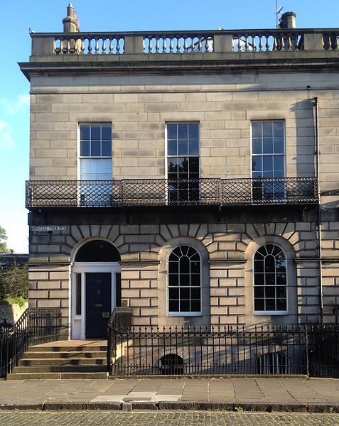
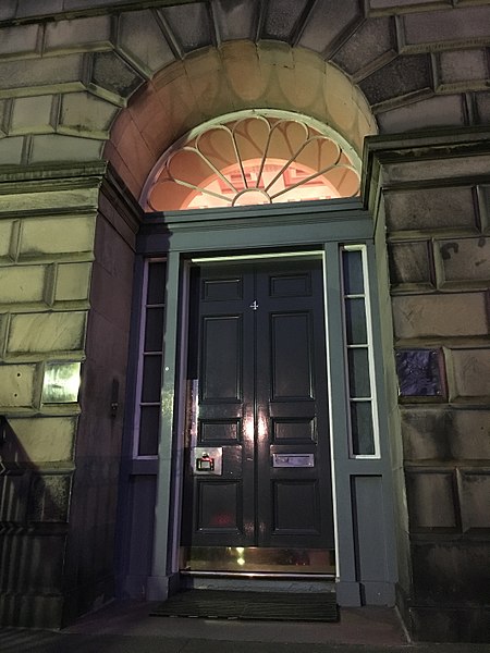
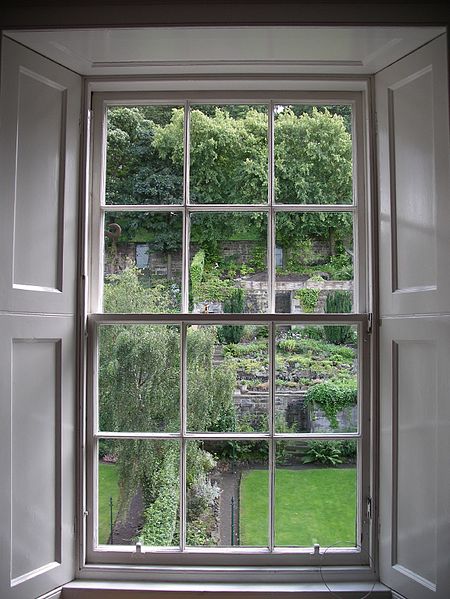
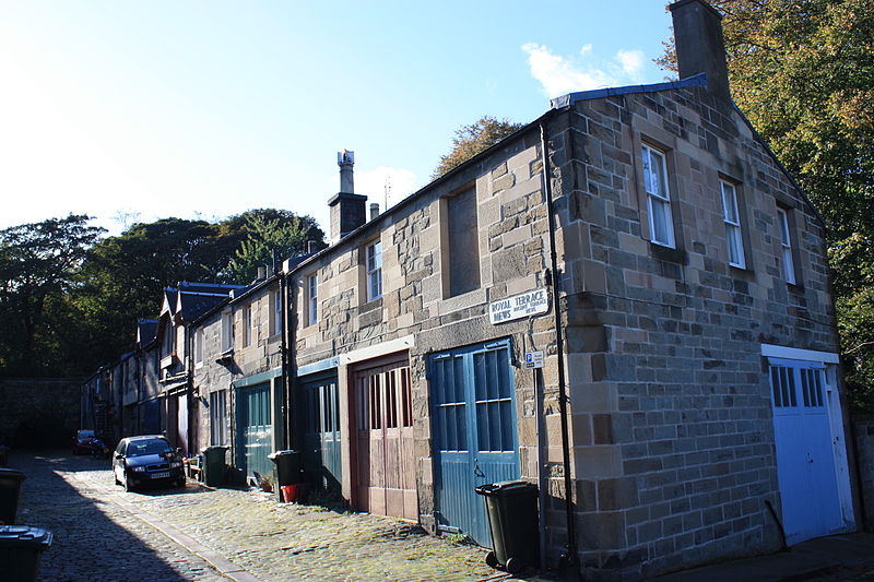
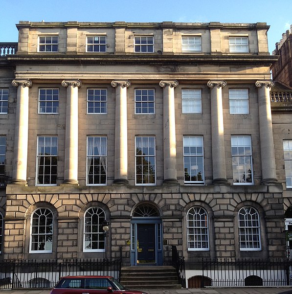
Royal Terrace is a grand street in the city of Edinburgh, Scotland, on the north side of Calton Hill within the New Town and part of the UNESCO World Heritage Site inscribed in 1995, built on the south side of a setted street, facing the sloping banks of London Road Gardens, formerly Royal Terrace Gardens, with views looking north towards Leith and the Firth of Forth. ()
Coordinates: 55°57'25"N, 3°10'39"W
Address
Calton HillEdinburgh
ContactAdd
Social media
Add
Day trips
Royal Terrace – popular in the area (distance from the attraction)
Nearby attractions include: Palace of Holyroodhouse, Calton Hill, Collective, Queen's Gallery.
Frequently Asked Questions (FAQ)
Which popular attractions are close to Royal Terrace?
Nearby attractions include London Road Gardens, Edinburgh (2 min walk), Regent, Edinburgh (3 min walk), Carlton Terrace, Edinburgh (5 min walk), Cat Stones of Scotland, Edinburgh (5 min walk).
How to get to Royal Terrace by public transport?
The nearest stations to Royal Terrace:
Bus
Tram
Train
Bus
- Wellington Street • Lines: 1, 26, 4, 44 (2 min walk)
- Brunswick Street • Lines: 1, 26, 4, 44 (3 min walk)
Tram
- St Andrew Square • Lines: Edinburgh Trams Eastbound, Edinburgh Trams Westbound (16 min walk)
- Princes Street • Lines: Edinburgh Trams Eastbound, Edinburgh Trams Westbound (22 min walk)
Train
- Edinburgh Waverley (16 min walk)


