Westerhope, Newcastle upon Tyne
Facts and practical information
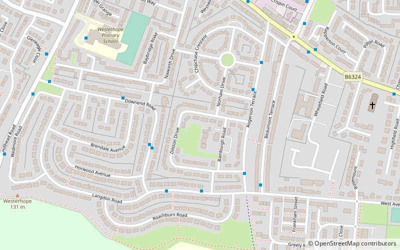
Westerhope is an area in the west of Newcastle upon Tyne, England. It was founded to provide housing for working families with sufficient land to grow vegetables. Westerhope expanded substantially in Victorian times with the discovery of workable coal reserves. It was also formerly a ward of the city council until 2018, which had a population of 9,196 at the 2011 Census. The coal reserves have now been largely exhausted and the two pits - Coronation & North Walbottle - have long since closed. After the extraction of 21.5 million tons of coal, the North Walbottle pit was closed in 1968 as further coal extraction would have risked undermining the runway of Newcastle airport, which lies about 5 miles to the North. ()
WesterhopeNewcastle upon Tyne
- Bus
- Light rail
 Bus
Bus
- Calculate routeHillhead Road-Gleneagles Close 8 min walk
- Calculate routeBank Foot 36 min walk


Frequently Asked Questions (FAQ)
Which popular attractions are close to Westerhope?
How to get to Westerhope by public transport?
Bus
- Hillhead Road-Gleneagles Close • Lines: 62 (8 min walk)
Light rail
- Bank Foot • Lines: Green (36 min walk)