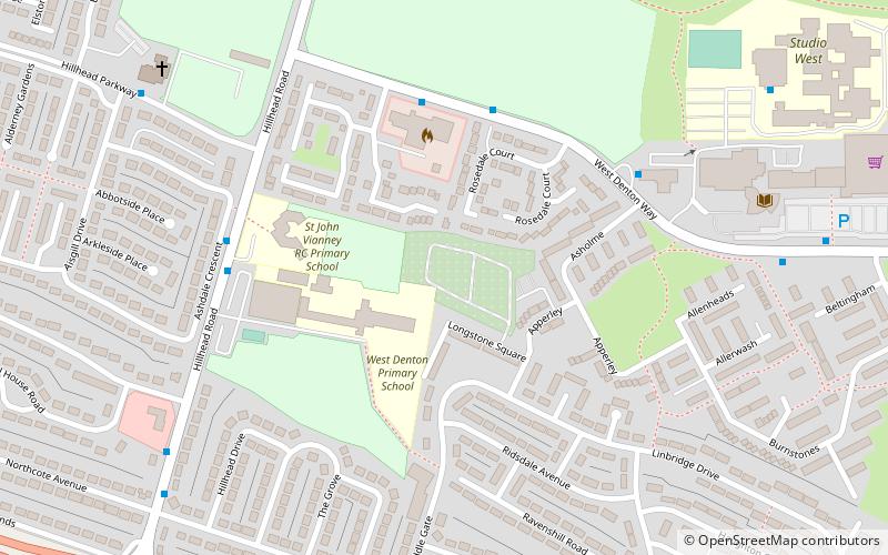
West Denton, Newcastle upon Tyne
Map
Facts and practical information
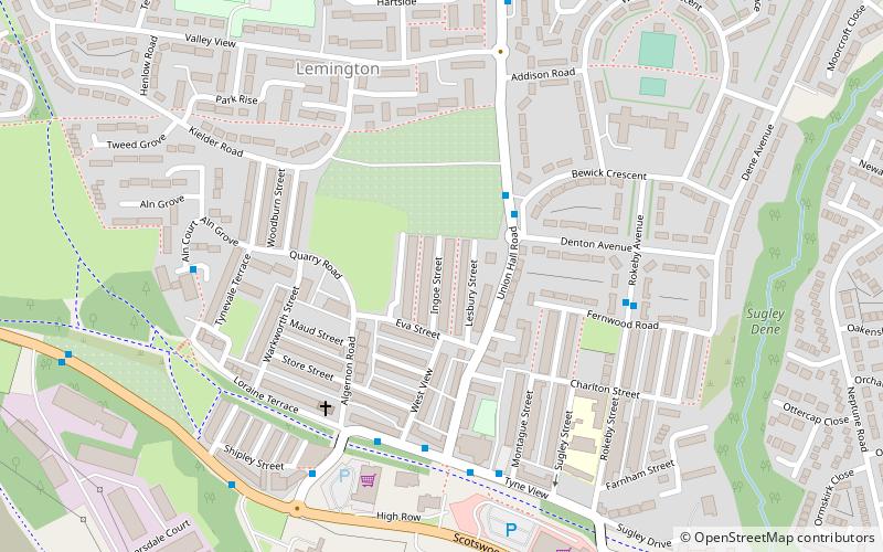
West Denton is an area in the western part of the city of Newcastle upon Tyne, Tyne and Wear, England. ()
Coordinates: 54°59'31"N, 1°42'22"W
Address
DentonNewcastle upon Tyne
ContactAdd
Social media
Add
Getting there by public transportation
Public transportation stops near this location
- Bus
 Bus
Bus
- Calculate routeWest Denton Way 4 min walk
- Calculate routeHillhead Parkway-Hillhead Road 7 min walk
Day trips


Frequently Asked Questions (FAQ)
Which popular attractions are close to West Denton?
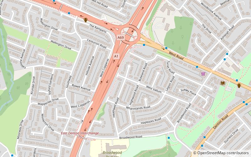
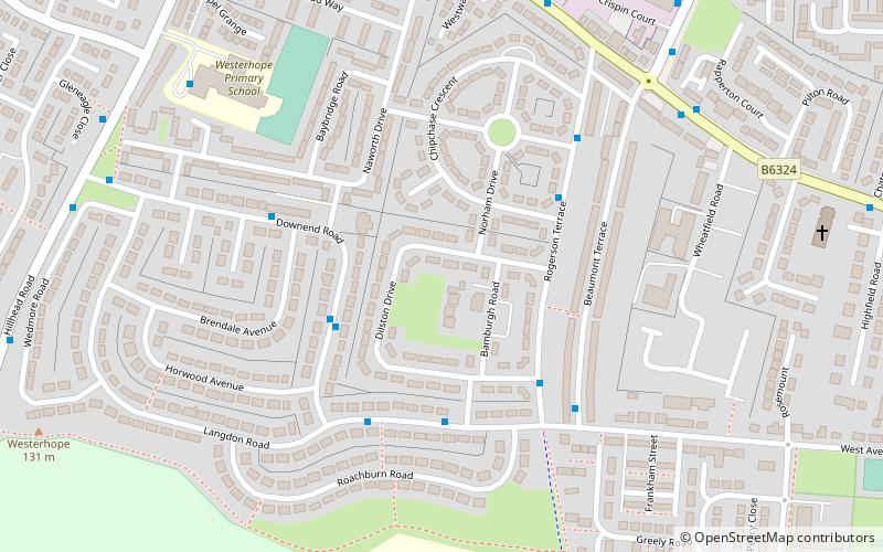
Nearby attractions include Milecastle 8, Hadrian's Wall (8 min walk), Westerhope, Newcastle upon Tyne (13 min walk), Denton Burn, Newcastle upon Tyne (20 min walk).
How to get to West Denton by public transport?
The nearest stations to West Denton:
Bus
Bus
- West Denton Way • Lines: 62, 63 (4 min walk)
- Hillhead Parkway-Hillhead Road • Lines: 63 (7 min walk)