Milecastle 8, Hadrian's Wall
Map
Map

Facts and practical information
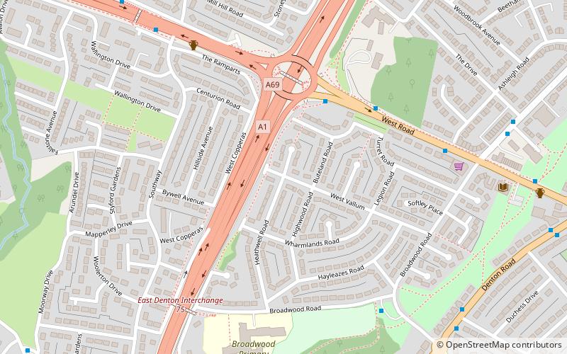
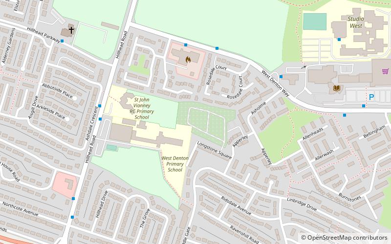
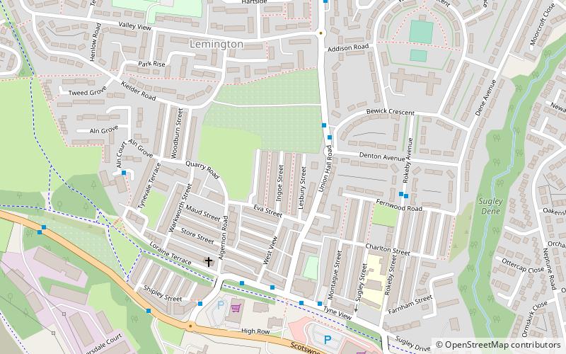
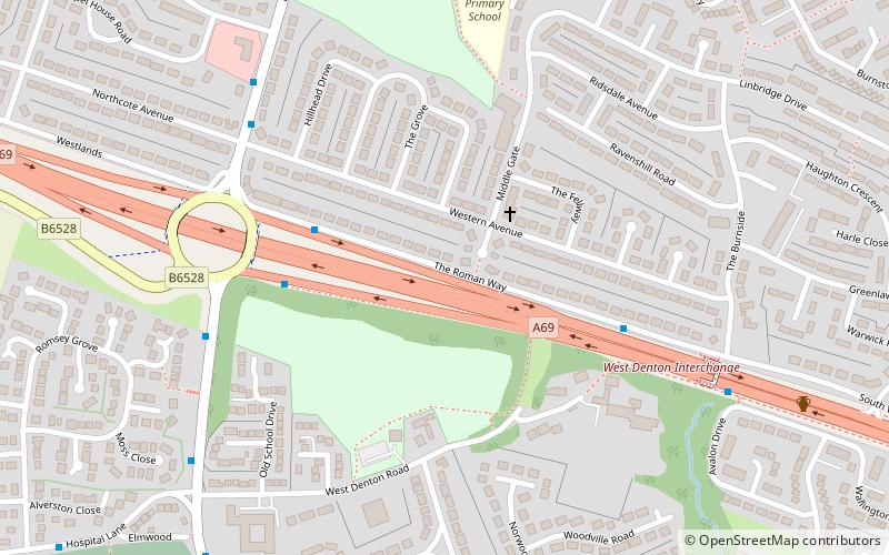
Milecastle 8 was a milecastle of the Roman Hadrian's Wall. Its remains are located in West Denton, Newcastle upon Tyne. The milecastle has two associated turret structures that are known as turret 8A and turret 8B. The turrets and milecastle were excavated in the 1920s, yielding some pottery and stone carvings, and have since been overlain by modern roads. The exact location of the structures is disputed, with the road hiding any surface traces. The Milecastle forms part of the Hadrian's Wall World Heritage Site. ()
Coordinates: 54°59'16"N, 1°42'28"W
Address
DentonHadrian's Wall
ContactAdd
Social media
Add
Day trips
Milecastle 8 – popular in the area (distance from the attraction)
Nearby attractions include: Milecastle 7, Blaydon Bridge, Denton Burn, East Denton.
Frequently Asked Questions (FAQ)
Which popular attractions are close to Milecastle 8?
Nearby attractions include West Denton, Newcastle upon Tyne (8 min walk), Denton Burn, Newcastle upon Tyne (17 min walk), Sugley, Newcastle upon Tyne (18 min walk), Westerhope, Newcastle upon Tyne (20 min walk).
How to get to Milecastle 8 by public transport?
The nearest stations to Milecastle 8:
Bus
Bus
- West Denton Way-Fire Station-W/B • Lines: 62, 63 (11 min walk)
- Hillhead Parkway-Hillhead Road • Lines: 63 (12 min walk)


