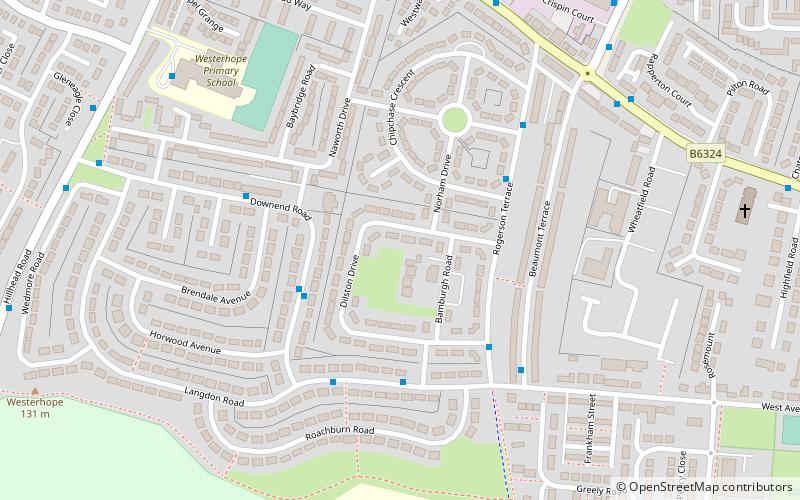
Slatyford, Newcastle upon Tyne
Map
Facts and practical information
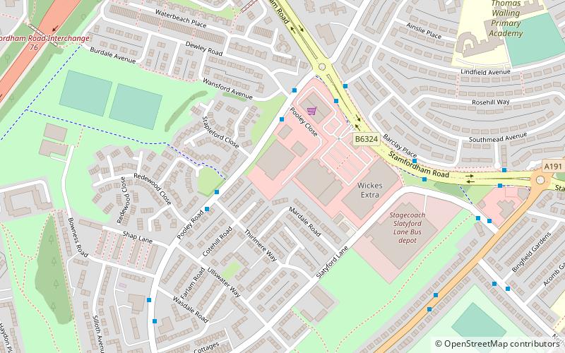
Slatyford is situated in the West End of Newcastle upon Tyne, England, and houses the Stagecoach North East depot for local bus services throughout Newcastle. The depot was previously used by Newcastle Busways. Alongside the depot, following demolition of an existing site, a retail complex has been built, centred on a Wickes store. ()
Coordinates: 54°59'24"N, 1°40'37"W
Address
FenhamNewcastle upon Tyne
ContactAdd
Social media
Add
Getting there by public transportation
Public transportation stops near this location
- Bus
 Bus
Bus
- Calculate routePooley Road-Thirlmere Way-N/B 3 min walk
- Calculate routeSlatyford 4 min walk
Day trips


Frequently Asked Questions (FAQ)
Which popular attractions are close to Slatyford?
Nearby attractions include East Denton, Newcastle upon Tyne (16 min walk), Milecastle 7, Hadrian's Wall (16 min walk), Denton Burn, Newcastle upon Tyne (21 min walk).
How to get to Slatyford by public transport?
The nearest stations to Slatyford:
Bus
Bus
- Pooley Road-Thirlmere Way-N/B • Lines: 1 (3 min walk)
- Slatyford • Lines: 1, 62, 63 (4 min walk)