Yorkshire Water Way, Yorkshire Dales
Map

Map

Facts and practical information
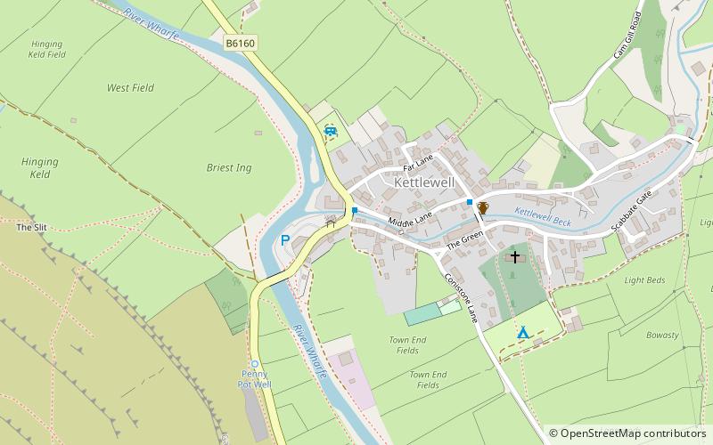
The Yorkshire Water Way is a 104-mile path that runs from Kettlewell in North Yorkshire to Langsett in South Yorkshire. It was devised by Mark Reid in conjunction with Yorkshire Water and it passes by over more than 20 reservoirs which are operated by Yorkshire Water. ()
Coordinates: 54°8'48"N, 2°2'57"W
Address
Yorkshire Dales
ContactAdd
Social media
Add
Day trips
Yorkshire Water Way – popular in the area (distance from the attraction)
Nearby attractions include: Mossdale Caverns, Angram Reservoir, Great Whernside, St Mary's Church.
Frequently Asked Questions (FAQ)
How to get to Yorkshire Water Way by public transport?
The nearest stations to Yorkshire Water Way:
Bus
Bus
- Kettlewell - Blue Bell Inn • Lines: 72A, 72B, 875 (1 min walk)
- Kettlewell - Shelter • Lines: 72A, 72B (1 min walk)


