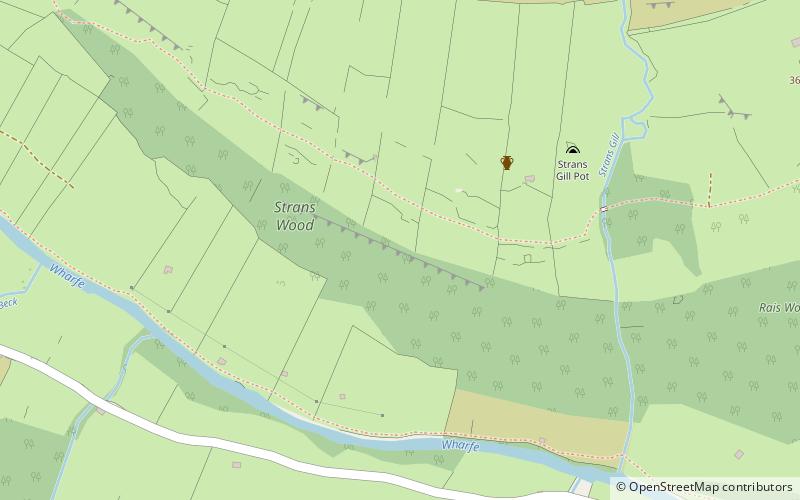
Langstrothdale, Yorkshire Dales National Park
Map

Map

Facts and practical information
Langstrothdale is a scenic valley in the Yorkshire Dales in North Yorkshire, England. The uppermost course of the River Wharfe runs through it, but Wharfedale does not begin until the Wharfe meets Cray Gill, downstream of Hubberholme. The name Langstrothdale derives from Old English and translates as 'long marsh' or 'marshy ground'. ()
Coordinates: 54°12'14"N, 2°8'2"W
Address
Yorkshire Dales National Park
ContactAdd
Social media
Add
Day trips
Langstrothdale – popular in the area (distance from the attraction)
Nearby attractions include: Pen-y-ghent, Semerwater, Fountains Fell Tarn, Great Whernside.


