Ashburton Playing Fields, Warlingham
Map

Map

Facts and practical information
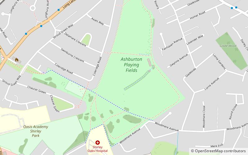
Ashburton Playing Fields is a playing field located in Woodside, London. It is managed by the London Borough of Croydon. The fields are bordered by Bywood Avenue in the north, Chaucer Green in the west and Woodville Avenue in the east. Stroud Green Way backs onto the western boundary. Tramlink services for the park are Arena and Woodside. It covers an area of 49.5 acres. ()
Elevation: 154 ft a.s.l.Coordinates: 51°23'6"N, 0°3'17"W
Address
Croydon (Ashburton)Warlingham
ContactAdd
Social media
Add
Day trips
Ashburton Playing Fields – popular in the area (distance from the attraction)
Nearby attractions include: Millers Pond, Shirley Windmill, South Norwood Country Park, Ashburton Park.
Frequently Asked Questions (FAQ)
Which popular attractions are close to Ashburton Playing Fields?
Nearby attractions include Ashburton Learning Village, Warlingham (12 min walk), Ashburton Park, Warlingham (12 min walk), Addiscombe, Warlingham (15 min walk), South Norwood Country Park, London (22 min walk).
How to get to Ashburton Playing Fields by public transport?
The nearest stations to Ashburton Playing Fields:
Bus
Tram
Train
Bus
- Longhurst Road • Lines: 289 (8 min walk)
- Addiscombe Fire Station • Lines: 289 (9 min walk)
Tram
- Arena • Lines: 2, 4 (13 min walk)
- Woodside • Lines: 2, 4 (13 min walk)
Train
- Elmers End (24 min walk)
- Norwood Junction (31 min walk)


