South Norwood Country Park, London
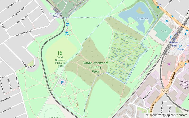
Map
Gallery
Facts and practical information
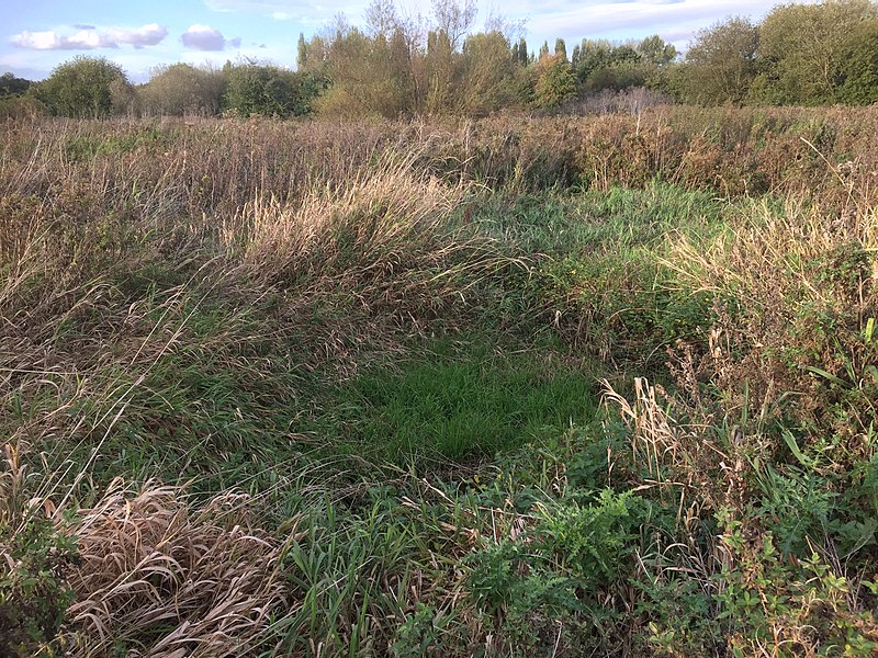
South Norwood Country Park is a park in South Norwood, close to Elmers End and Birkbeck train stations. The historic Kent-Surrey border runs through the site, and since 1965 it has been located wholly in the London Borough of Croydon. It is a 47 hectare green space which opened in 1989. The park is a mix of countryside and parkland, and land formerly used for sewage farms serving the growing London population. ()
Elevation: 118 ft a.s.l.Coordinates: 51°23'49"N, 0°3'25"W
Address
Croydon (Woodside)London
ContactAdd
Social media
Add
Day trips
South Norwood Country Park – popular in the area (distance from the attraction)
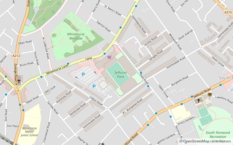
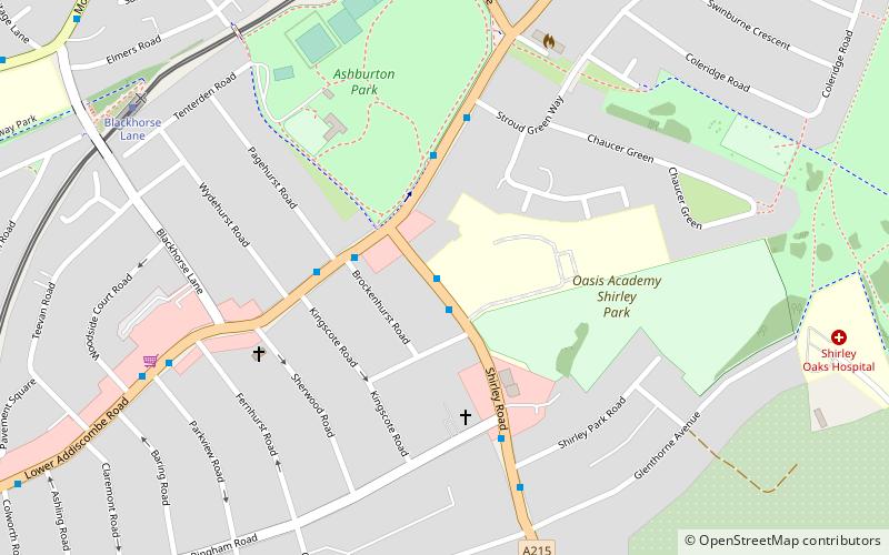
Nearby attractions include: Selhurst Park, Betts Park, South Norwood Lake and Grounds, Ashburton Park.
Frequently Asked Questions (FAQ)
Which popular attractions are close to South Norwood Country Park?
Nearby attractions include Elmers End, Warlingham (5 min walk), Ashburton Playing Fields, Warlingham (22 min walk), Ashburton Park, Warlingham (23 min walk), Betts Park, London (23 min walk).
How to get to South Norwood Country Park by public transport?
The nearest stations to South Norwood Country Park:
Tram
Bus
Train
Tram
- Harrington Road • Lines: 2 (7 min walk)
- Elmers End • Lines: 4 (9 min walk)
Bus
- Kingfisher Way • Lines: 289, 367 (9 min walk)
- Elmers End Station • Lines: 356 (9 min walk)
Train
- Elmers End (9 min walk)
- Birkbeck (12 min walk)

 Tube
Tube


