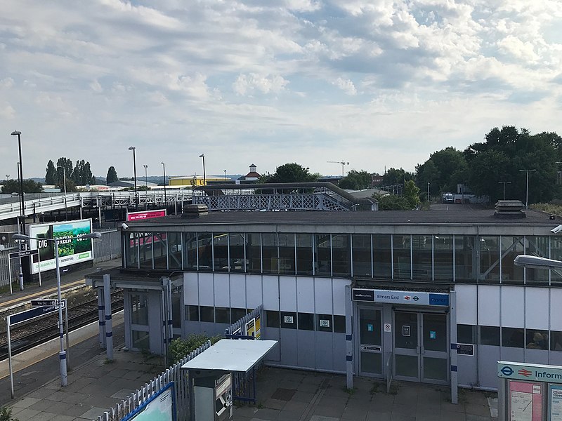
Elmers End, Warlingham

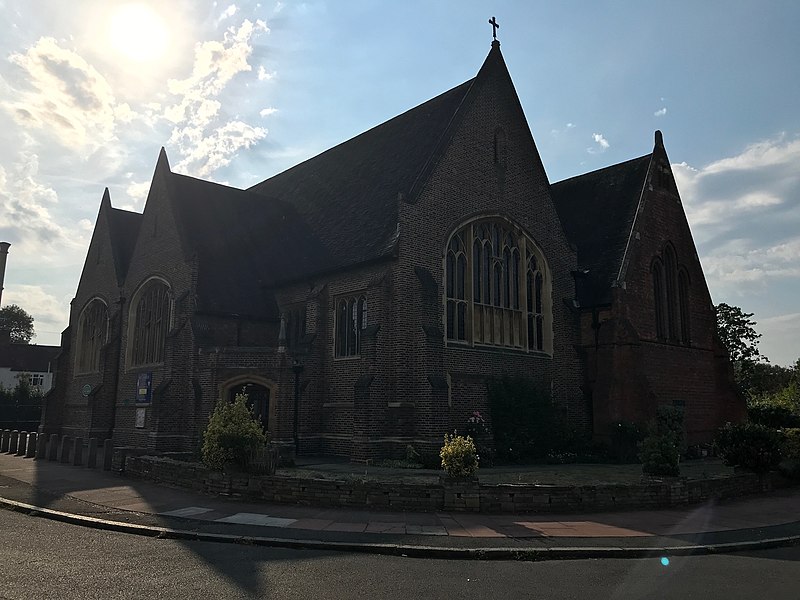
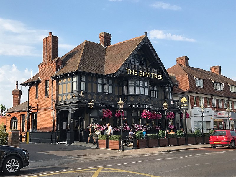
Gallery (7)
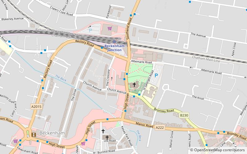
Map

Map

Gallery
Facts and practical information
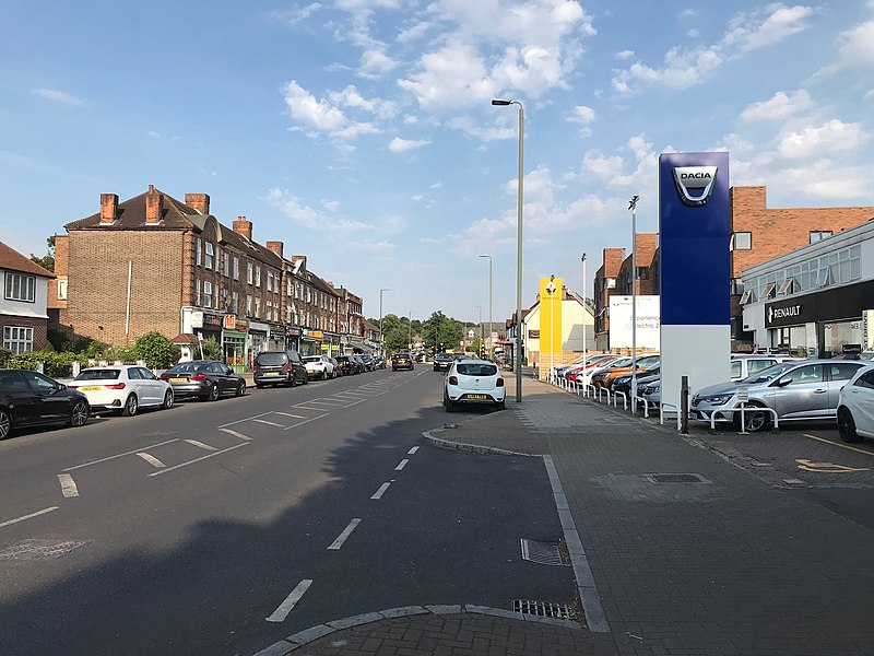
Elmers End is an area of south-east London, England, within the London Borough of Bromley and the historic county of Kent. It is located south of Beckenham, west of Eden Park, north of Monks Orchard and east of Anerley. ()
Coordinates: 51°23'50"N, 0°3'9"W
Address
Croydon (Woodside)Warlingham
ContactAdd
Social media
Add
Getting there by public transportation
Public transportation stops near this location
- Bus
- Tram
- Train
 Bus
Bus
- Calculate routeElmers End 4 min walk
- Calculate routeBirkbeck 13 min walk
- Calculate routeNorwood Junction 25 min walk
- Calculate routeClock House 25 min walk
- Calculate routeElmers End 4 min walk
- Calculate routeHarrington Road 10 min walk
- Calculate routeArena 12 min walk
- Calculate routeBirkbeck 13 min walk
- Calculate routeElmers End / Tesco 5 min walk
- Calculate routeElmers End Interchange 5 min walk
- Calculate routeElmers End Station 5 min walk
Day trips


Frequently Asked Questions (FAQ)
Which popular attractions are close to Elmers End?
Nearby attractions include South Norwood Country Park, London (5 min walk), Ashburton Playing Fields, Warlingham (22 min walk).
How to get to Elmers End by public transport?
The nearest stations to Elmers End:
Train
Tram
Bus
Train
- Elmers End (4 min walk)
- Birkbeck (13 min walk)
Tram
- Elmers End • Lines: 4 (4 min walk)
- Harrington Road • Lines: 2 (10 min walk)
Bus
- Elmers End / Tesco • Lines: 289, 367 (5 min walk)
- Elmers End Interchange • Lines: 289, 54 (5 min walk)