Cultural Industries Quarter, Sheffield
Map

Map

Facts and practical information
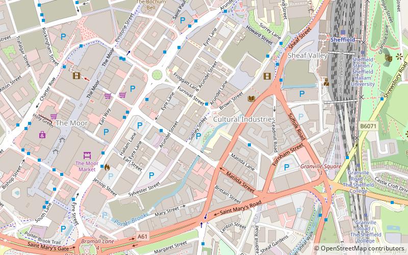
The Cultural Industries Quarter is a district in the city centre of Sheffield, England, and one of the eleven Quarters designated in the 1994 City Centre Strategy. It is roughly triangular in shape, and is bound by Howard Street, Sheaf Square and Suffolk Road to the north-east, St Mary's Road to the south and Eyre Street and Arundel Gate to the north-west, with Granville Square in the south-east. The name given reflects the intention to create a cluster of music, film and science-based businesses in the area. ()
Coordinates: 53°22'34"N, 1°28'5"W
Day trips
Cultural Industries Quarter – popular in the area (distance from the attraction)
Nearby attractions include: The Leadmill, Sheffield Town Hall, Millennium Gallery, Sheaf Square.
Frequently Asked Questions (FAQ)
Which popular attractions are close to Cultural Industries Quarter?
Nearby attractions include Access Space, Sheffield (1 min walk), Sheffield Institute of Arts Gallery, Sheffield (2 min walk), Butchers Wheel, Sheffield (3 min walk), Site Gallery, Sheffield (3 min walk).
How to get to Cultural Industries Quarter by public transport?
The nearest stations to Cultural Industries Quarter:
Bus
Train
Tram
Bus
- Furnival Street/Arundel Lane • Lines: 181, 218, 257, 271, 272, 56, 65, X17 (2 min walk)
- Leadmill Street/Mortimer Street • Lines: 80A (3 min walk)
Train
- Sheffield (8 min walk)
Tram
- Granville Road / The Sheffield College • Lines: Blue, Purp (8 min walk)
- Sheffield Station / Sheffield Hallam University • Lines: Blue, Purp (8 min walk)


