Prestwick Road Meadows, Watford
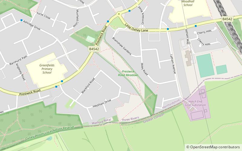
Map

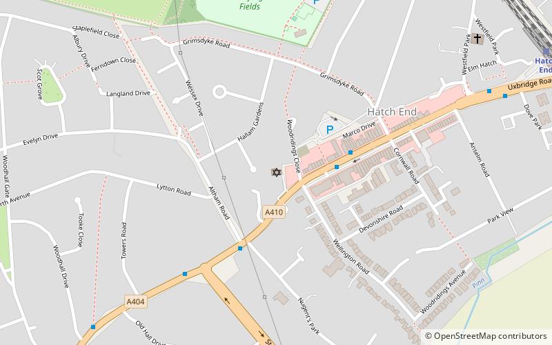
Map

Facts and practical information
Prestwick Road Meadows is a 2.8 hectare Local Nature Reserve in South Oxhey in Hertfordshire. It is owned and managed by Three Rivers District Council. ()
Elevation: 266 ft a.s.l.Coordinates: 51°37'3"N, 0°23'17"W
Address
Watford
ContactAdd
Social media
Add
Day trips
Prestwick Road Meadows – popular in the area (distance from the attraction)
Nearby attractions include: Oxhey Golf Club, Harrow Arts Centre, Oxhey Woods, Oxhey Chapel.
Frequently Asked Questions (FAQ)
Which popular attractions are close to Prestwick Road Meadows?
Nearby attractions include Oxhey Woods, Watford (19 min walk), Oxhey Chapel, Watford (19 min walk), Kol Chai Hatch End Reform Jewish Community, Watford (22 min walk).
How to get to Prestwick Road Meadows by public transport?
The nearest stations to Prestwick Road Meadows:
Bus
Train
Bus
- Little Oxhey Lane • Lines: 8, R17 (5 min walk)
- Heysham Drive • Lines: 8 (5 min walk)
Train
- Carpenders Park (19 min walk)
- Hatch End (26 min walk)


