Coventry and Bedworth Urban Area, Coventry
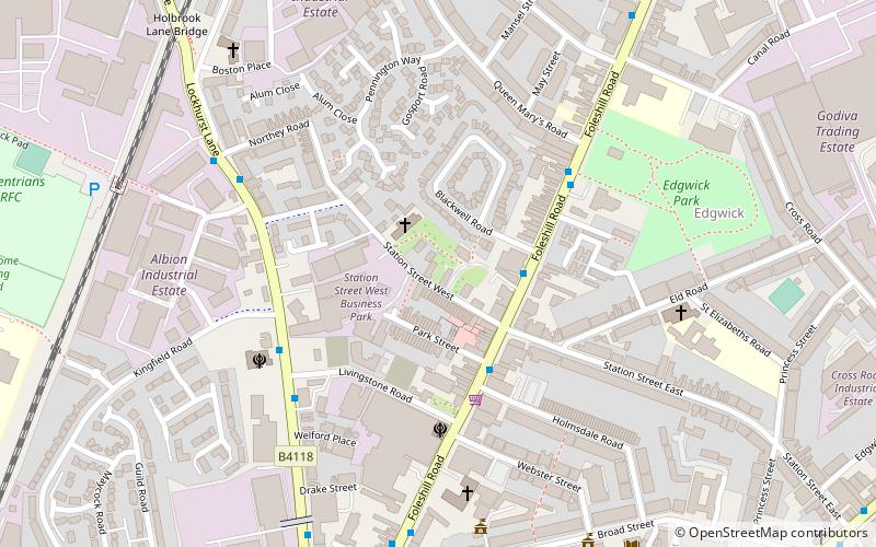
Map
Facts and practical information
The Coventry/Bedworth Urban Area as defined by the Office for National Statistics has a population of 386,003, with Coventry making up the main population of 352,900 according to the 2016 ONS local report. This makes it the 16th largest conurbation in England and Wales by population. It is also one of the most densely populated. ()
Coordinates: 52°25'48"N, 1°30'0"W
Address
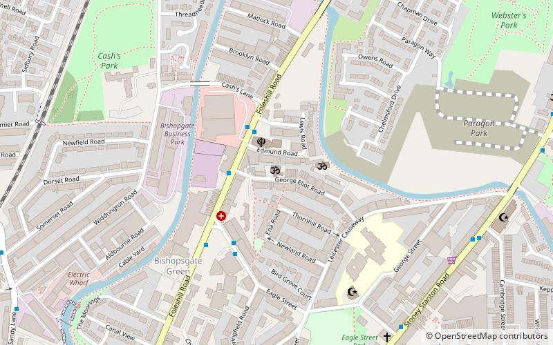
North East Coventry (Foleshill)Coventry
ContactAdd
Social media
Add
Day trips
Coventry and Bedworth Urban Area – popular in the area (distance from the attraction)
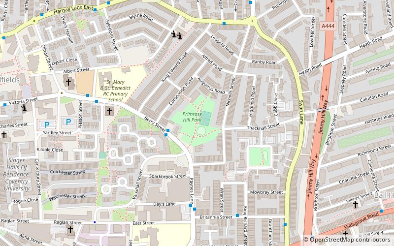
Nearby attractions include: Coventry Building Society Arena, Arena Park Shopping Centre, Primrose Hill Park, St Nicholas' Church.
Frequently Asked Questions (FAQ)
How to get to Coventry and Bedworth Urban Area by public transport?
The nearest stations to Coventry and Bedworth Urban Area:
Bus
Train
Bus
- Foleshill Rd / Station St • Lines: 20, 20A, 20B, 20C (2 min walk)
- Lockhurst Lane / Livingstone Rd • Lines: 3 (4 min walk)
Train
- Coventry Arena (31 min walk)

