Trek Zone

Digley Reservoir, Holmfirth

#4 among attractions in Holmfirth

Neighbourhood
Digley Reservoir location map
Map

Facts and practical information
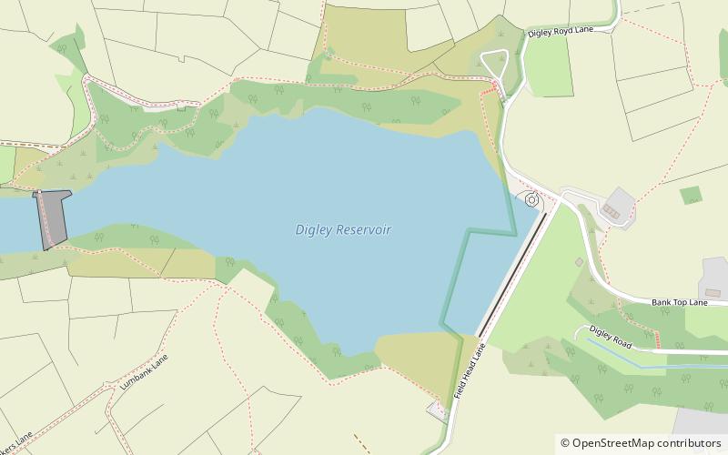
Coordinates: 53°33'35"N, 1°50'16"W
Address

Holme Valley SouthHolmfirth United Kingdom

ContactAdd
Social media
Add
Day trips

Digley Reservoir – popular in the area (distance from the attraction)

Nearby attractions include: Wessenden Head Reservoir, Church of St Thomas, Wessenden Reservoir, Black Hill.

  • wessenden head reservoir marsden2.4 miW
  • church of st thomas4.3 miNE
  • wessenden reservoir marsden3.2 miW
  • black hill peak district2.4 miSW
  • stanza stones trail marsden location map
    5.4 miNW
  • wessenden valley marsden4.2 miNW
  • black chew head crowden in longdendale4.5 miSW
  • pennine cycleway holmfirth2.2 miE
  • myers wood6 miNE
  • saddleworth moor peak district5 miW
  • holme valley memorial hospital holmfirth2.5 miNE

Where to next? Visit england England region page or discover the top tourist attractions in United Kingdom.