Hurlet, Glasgow
Map

Map

Facts and practical information
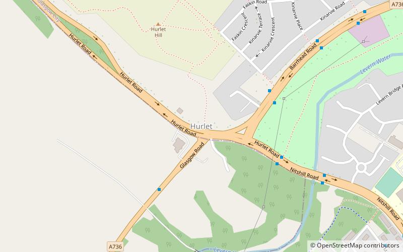
Hurlet is a small semi-rural district and former mining village, straddling the Renfrewshire-East Renfrewshire-Glasgow border near the town of Barrhead in the lowlands of Scotland. ()
Coordinates: 55°49'8"N, 4°22'19"W
Address
Glasgow
ContactAdd
Social media
Add
Day trips
Hurlet – popular in the area (distance from the attraction)
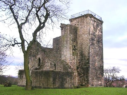
Nearby attractions include: Crookston Castle, St James' Parish Church, Glasgow Museums Resource Centre, The Open Museum.
Frequently Asked Questions (FAQ)
Which popular attractions are close to Hurlet?
Nearby attractions include Roughmussel, Glasgow (10 min walk), Glasgow Museums Resource Centre, Glasgow (14 min walk), The Open Museum, Glasgow (15 min walk), Nitshill, Glasgow (15 min walk).
How to get to Hurlet by public transport?
The nearest stations to Hurlet:
Bus
Train
Bus
- Barrhead Road / Crookston Road • Lines: 3 (10 min walk)
- Crookston Road / Raeswood Road • Lines: 3 (15 min walk)
Train
- Nitshill (18 min walk)
- Priesthill & Darnley (32 min walk)


