Statue of Captain James Cook, London

Map
Facts and practical information
A bronze statue of Captain James Cook by Thomas Brock is located near Admiralty Arch on the south side of The Mall in London, United Kingdom. The statue was completed in 1914 and is maintained by The Royal Parks. It is mounted on a stone plinth. ()
Coordinates: 51°30'23"N, 0°7'45"W
Address
City of Westminster (St. James's)London
ContactAdd
Social media
Add
Day trips
Statue of Captain James Cook – popular in the area (distance from the attraction)
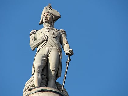
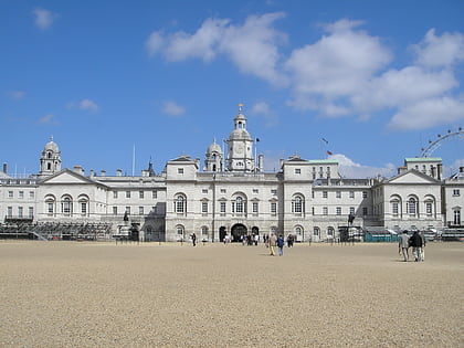
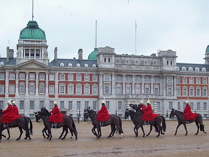
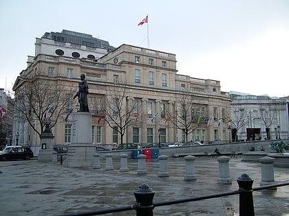
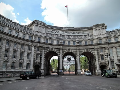
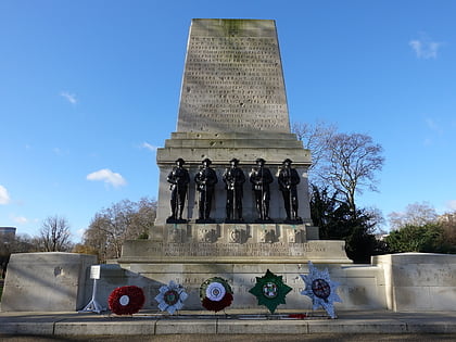
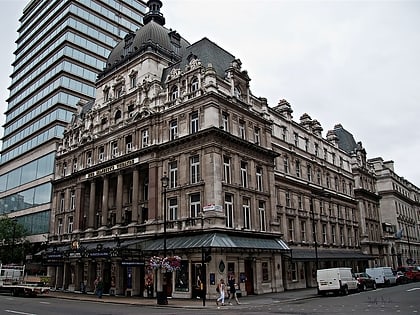
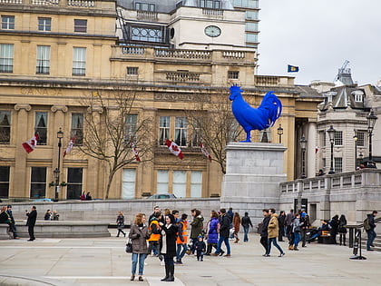
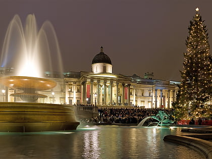
Nearby attractions include: Trafalgar Square, Nelson's Column, Horse Guards Building, Horse Guards Parade.
Frequently Asked Questions (FAQ)
Which popular attractions are close to Statue of Captain James Cook?
Nearby attractions include Royal Marines Memorial, London (1 min walk), Mall Galleries, London (1 min walk), Admiralty Arch, London (2 min walk), National Police Memorial, London (2 min walk).
How to get to Statue of Captain James Cook by public transport?
The nearest stations to Statue of Captain James Cook:
Bus
Metro
Train
Ferry
Bus
- Trafalgar Square / Charing Cross Station • Lines: N26 (4 min walk)
- Charing Cross Station • Lines: N26 (6 min walk)
Metro
- Charing Cross • Lines: Bakerloo, Northern (5 min walk)
- Embankment • Lines: Bakerloo, Circle, District, Northern (8 min walk)
Train
- Charing Cross (7 min walk)
- London Waterloo (20 min walk)
Ferry
- Embankment • Lines: Green Tour, Rb1, Rb1X, Rb2, Rb6 (9 min walk)
- Westminster Pier • Lines: Blue Tour, Green Tour, Rb1, Rb1X, Rb2, Red Tour (11 min walk)
 Tube
Tube
