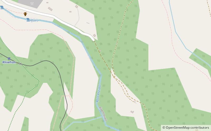
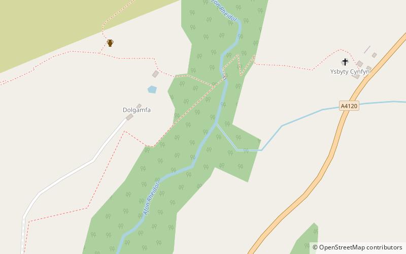
Coedydd a Cheunant Rheidol, Devil's Bridge
#4 among attractions in Devil's Bridge
![Coedydd a Cheunant Rheidol location map](https://tzmedia.b-cdn.net/media/images/static-maps/gb/52_39396_-3_84095.jpg)
Facts and practical information
Coedydd a Cheunant Rheidol is a Site of Special Scientific Interest in Ceredigion, west Wales. ()
Devil's Bridge United Kingdom
Coedydd a Cheunant Rheidol – popular in the area (distance from the attraction)
Nearby attractions include: Plynlimon, Pen y Garn, The Silver Mountain Experience, Mynach Falls.
5.6 miNENature, Natural attraction, MountainPlynlimon
143 min walk • Pumlumon is the highest point of the Cambrian Mountains in Wales, and the highest point in Mid Wales. It is a massif that dominates the surrounding countryside and is the highest point of Ceredigion.
3.3 miENature, Natural attraction, MountainPen y Garn
84 min walk • Pen y Garn is a mountain in the Cambrian Mountains, Mid Wales standing at 611 metres above sea level. Pen y Garn tops a 500–600 m high plateau, which includes the controversial Cefn Croes wind farm.
1.6 miNW 1.2 miSNature, Natural attraction, WaterfallMynach Falls, Devil's Bridge
32 min walk • Mynach Falls is a waterfall near Aberystwyth in the county of Ceredigion, Wales. It occurs where the River Mynach drops 90 metres in 5 steps down a steep and narrow ravine before it meets the River Rheidol.
5.4 miWNature, Natural attraction, ForestHafod Uchtryd
137 min walk • Hafod Uchtryd is a wooded and landscaped estate in the Ystwyth valley in Ceredigion, Wales. Near Devil's Bridge, Cwmystwyth and Pont-rhyd-y-groes, it is off the B4574 road.
1.1 miSWNature, Natural attraction, CanyonCoed Rheidol National Nature Reserve, Devil's Bridge
30 min walk • Coed Rheidol National Nature Reserve forms part of the long ribbon of woodland adjoining the Afon Mynach and Afon Rheidol around the lower slopes of hills near Devil's Bridge, Ceredigion.
5.1 miNNature, Natural attraction, LakeNant-y-moch Reservoir
131 min walk • Nant-y-moch Reservoir Welsh pronunciation is situated in the Cambrian Mountains in northern Ceredigion, Wales, near Pumlumon. The reservoir which flooded a part of the valley of the River Rheidol and its headwaters derives its name from a stream, the Nant-y-moch, which formerly flowed into the River Rheidol at this spot.
2.2 miWZooThe Magic of Life Butterfly House, Ponterwyd
57 min walk • The Magic of Life Butterfly House is an all-weather butterfly zoo visitor attraction near Aberystwyth, Ceredigion in Wales. It was opened in July 2002 by rain forest conservationist, the Earl of Cranbrook.
4.2 miNNature, Natural attraction, MountainY Garn
108 min walk • Y Garn is a subsidiary summit of Pen Pumlumon Fawr and the fourth highest peak on the Plynlimon massif, a part of the Cambrian Mountains in the county of Ceredigion, Wales.
4.3 miNWNature, Natural attraction, ValleyCwmsymlog
111 min walk • Cwmsymlog is a short valley, sheltering a hamlet of the same name, in Ceredigion, in the west of Wales. Once an important mining area, but the mining slowly declined and finally came to an end in 1901.
5.8 miSWChurchSt Afan's Church
148 min walk • Saint Afan's Church is located in Llanafan, 8 miles east of Aberystwyth, Ceredigion, in Wales.