Kennishead, Glasgow
Map
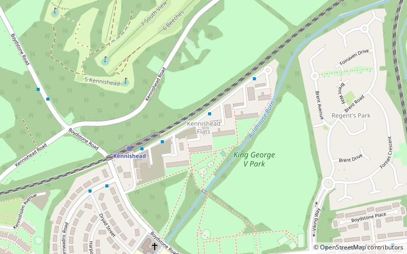
Map

Facts and practical information
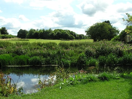
Kennishead is a neighbourhood in the Scottish city of Glasgow. Its territory, south of the River Clyde, is fairly isolated, bordering a park to the south and a golf course to the north, as well as the residential area of Carnwadric. The majority of the housing consists of three high rise tower blocks of 23 storeys, which dominate the area visually. ()
Coordinates: 55°48'50"N, 4°19'18"W
Address
South Side (Kennishead)Glasgow
ContactAdd
Social media
Add
Day trips
Kennishead – popular in the area (distance from the attraction)
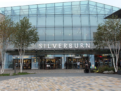
Nearby attractions include: Burrell Collection, Pollok House, Silverburn Shopping Centre, Pollok Country Park.
Frequently Asked Questions (FAQ)
Which popular attractions are close to Kennishead?
Nearby attractions include Cowglen, Glasgow (17 min walk), Mansewood, Glasgow (20 min walk), Darnley, Glasgow (21 min walk), Priesthill, Glasgow (23 min walk).
How to get to Kennishead by public transport?
The nearest stations to Kennishead:
Train
Bus
Train
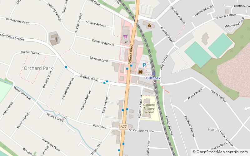
- Kennishead (4 min walk)
- Thornliebank (12 min walk)
Bus
- Barrhead Road / Boydstone Road • Lines: 3 (18 min walk)
- Nitshill Road / Spiersbridge Avenue • Lines: 38 (23 min walk)


