Walton Manor, Oxford
Map
Facts and practical information
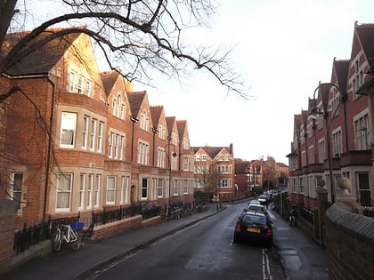
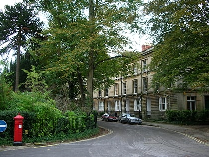
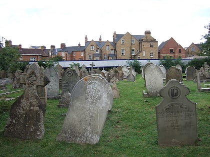
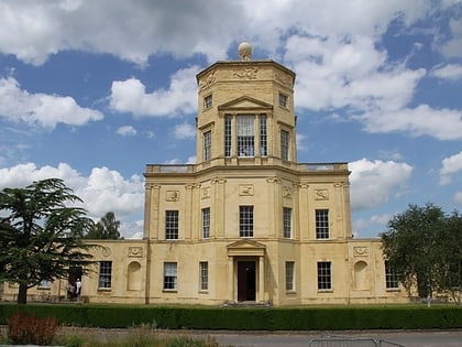
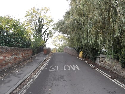
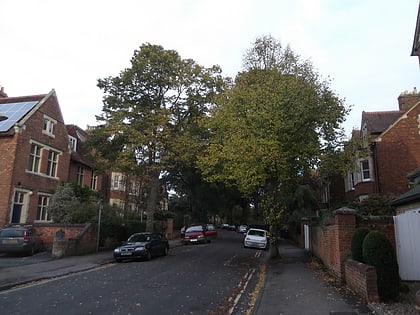
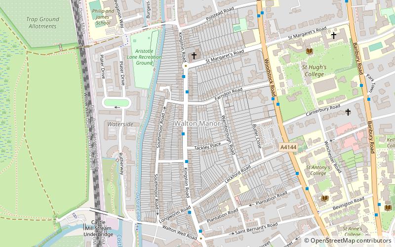
Walton Manor is a residential suburb in Oxford, England. It is north of Jericho and the Radcliffe Observatory Quarter and forms part of North Oxford. The street layout and many of the area's buildings date from the mid-19th century. It was developed on land belonging to St John's College, Oxford. ()
Coordinates: 51°45'54"N, 1°16'6"W
Day trips
Walton Manor – popular in the area (distance from the attraction)
Nearby attractions include: North Parade, Phoenix Picturehouse, Oxford Centre for Mission Studies, Walton Well Road.
Frequently Asked Questions (FAQ)
Which popular attractions are close to Walton Manor?
Nearby attractions include Kingston Road, Oxford (1 min walk), Warnborough Road, Oxford (2 min walk), Southmoor Road, Oxford (3 min walk), St Margaret's Church, Oxford (4 min walk).
How to get to Walton Manor by public transport?
The nearest stations to Walton Manor:
Bus
Train
Bus
- Plantation Road • Lines: 35, 853 (7 min walk)
- St Margarets Road • Lines: 35, 853 (6 min walk)
Train
- Oxford (21 min walk)

