Holyrood, Edinburgh
Map
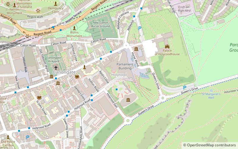
Map

Facts and practical information
Holyrood is an area in Edinburgh, the capital of Scotland, lying east of the city centre, at the foot of the Royal Mile. ()
Address
Old Town (Canongate)Edinburgh
ContactAdd
Social media
Add
Day trips
Holyrood – popular in the area (distance from the attraction)
Nearby attractions include: Palace of Holyroodhouse, Collective, Queen's Gallery, The Scottish Parliament.
Frequently Asked Questions (FAQ)
Which popular attractions are close to Holyrood?
Nearby attractions include The Scottish Parliament, Edinburgh (2 min walk), Dynamic Earth, Edinburgh (2 min walk), Queen's Gallery, Edinburgh (3 min walk), Scottish Poetry Library, Edinburgh (3 min walk).
How to get to Holyrood by public transport?
The nearest stations to Holyrood:
Bus
Train
Tram
Bus
- Regent Terrace • Lines: 124, X5 (6 min walk)
- Carlton Terrace Brae • Lines: 124, X5 (9 min walk)
Train
- Edinburgh Waverley (16 min walk)
Tram
- St Andrew Square • Lines: Edinburgh Trams Eastbound, Edinburgh Trams Westbound (18 min walk)
- Princes Street • Lines: Edinburgh Trams Eastbound, Edinburgh Trams Westbound (23 min walk)


