Gibbet Moor, Peak District

Gallery (1)
Map
Map
Facts and practical information
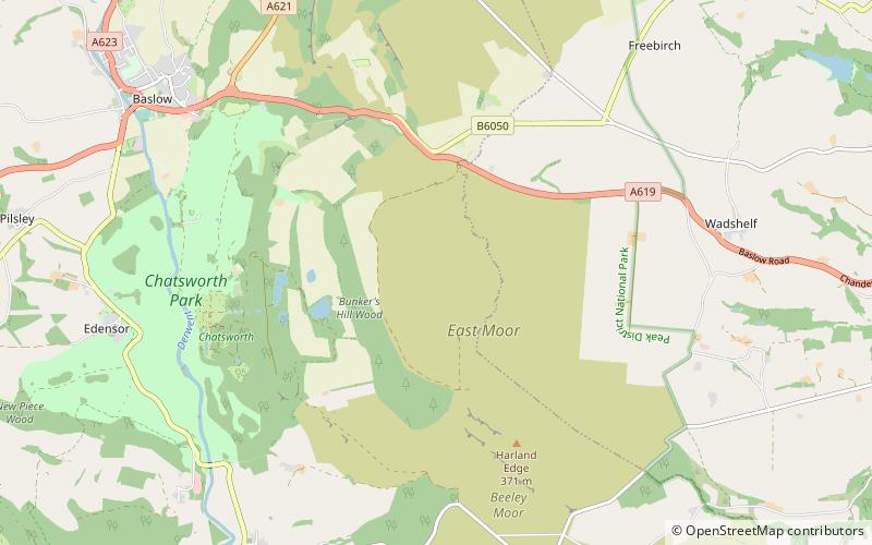
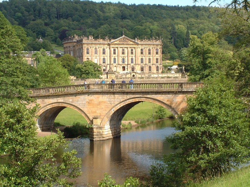
Gibbet Moor is a small gritstone upland area in the Derbyshire Peak District of central and northern England, near the village of Baslow. Its highest point is 295 metres above sea level. The Chatsworth Estate lies to the west and Umberley Brook run along its east edge. East Moor is the broader moorland area covering Gibbet Moor, Brampton East Moor and Beeley Moor. Gibbet Moor is a prehistoric landscape with several protected Scheduled Ancient Monuments. ()
Coordinates: 53°13'50"N, 1°34'32"W
Address
Peak District
ContactAdd
Social media
Add
Getting there by public transportation
Public transportation stops near this location
- Bus
 Bus
Bus
- Calculate routeRobin Hood 28 min walk
- Calculate routeSheeplea Cottage 30 min walk
Day trips


Frequently Asked Questions (FAQ)
How to get to Gibbet Moor by public transport?
The nearest stations to Gibbet Moor:
Bus
Bus
- Robin Hood • Lines: X71 (28 min walk)
- Sheeplea Cottage • Lines: X71 (30 min walk)