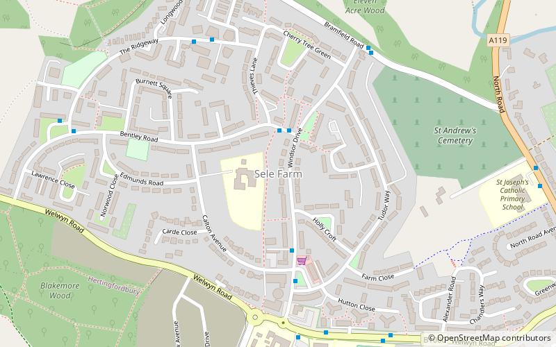
Sele Farm, Hertford
Map
Facts and practical information
Sele Farm is an area on the north-western edge of Hertford, Hertfordshire. ()
Coordinates: 51°48'7"N, 0°6'8"W
Address
Hertford
ContactAdd
Social media
Add
Getting there by public transportation
Public transportation stops near this location
- Bus
- Train
 Bus
Bus
- Calculate routeFordwich Rise 7 min walk
- Calculate routeHertford North Railway Station 13 min walk
- Calculate routeCounty Hospital 18 min walk
- Calculate routeHertford North 13 min walk
Day trips


Frequently Asked Questions (FAQ)
How to get to Sele Farm by public transport?
The nearest stations to Sele Farm:
Bus
Train
Bus
- Fordwich Rise • Lines: 724 (7 min walk)
- Hertford North Railway Station • Lines: 724 (13 min walk)
Train
- Hertford North (13 min walk)