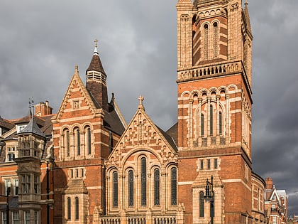
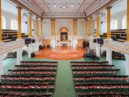
Hinde Street Methodist Church, London
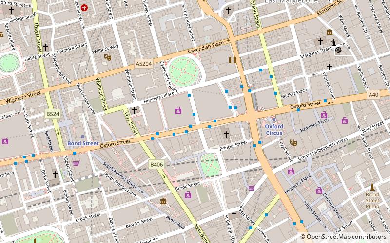
Map
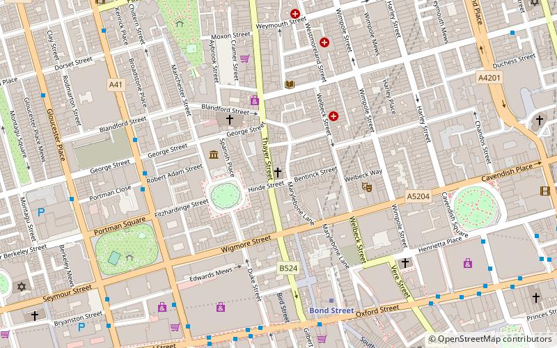
Map

Facts and practical information
Hinde Street Methodist Church in Hinde Street, Marylebone, London, is Grade II listed with Historic England. It was built 1807-10 and rebuilt in the 1880s. ()
Coordinates: 51°31'2"N, 0°9'4"W
Address
City of Westminster (Marylebone)London
ContactAdd
Social media
Add
Day trips
Hinde Street Methodist Church – popular in the area (distance from the attraction)
Nearby attractions include: Wallace Collection, Marylebone High Street, South Molton Street, Selfridges.
Frequently Asked Questions (FAQ)
Which popular attractions are close to Hinde Street Methodist Church?
Nearby attractions include West London Methodist Mission, London (1 min walk), Wallace Collection, London (3 min walk), Wigmore Hall, London (4 min walk), St Christopher's Place, London (4 min walk).
How to get to Hinde Street Methodist Church by public transport?
The nearest stations to Hinde Street Methodist Church:
Metro
Bus
Train
Metro
- Bond Street • Lines: Central, Jubilee (6 min walk)
- Marble Arch • Lines: Central (11 min walk)
Bus
- George Street • Lines: 30 (8 min walk)
- Portman Street / Marble Arch Station • Lines: 30 (8 min walk)
Train
- London Marylebone (19 min walk)
- London Euston (28 min walk)

 Tube
Tube

